Login

Zapomniałeś swój login?

Cookies have to be accepted!
Your browser's cookie functionality is disabled. Please enable this functionality.

Not a member yet?

Register now
Login

Available for registred users only

Log in to use this feature.

Zapomniałeś swój login?

Cookies have to be accepted!
Your browser's cookie functionality is disabled. Please enable this functionality.

Not a member yet?

Register now
Filter
Kategorie
Advanced filters
  • Długość (km)
  • Wysokość
Zapisz filtr Reset filter

TrackRank

QRCode

Technical data

Długość76,3 km Wysokość951 m Way down893 m Czas trwania03:00 h:m Data10.07.2006
Oceny Author Krajobraz Czynnik zadowolenia Kondycja Technika

Statystyka

710 Widoki Oceny 145 Downloads / Pliki do pobrania Przeciętnie
Rate
  • Karta trasy
  • Dojazd
  • Downloads / Pliki do pobrania
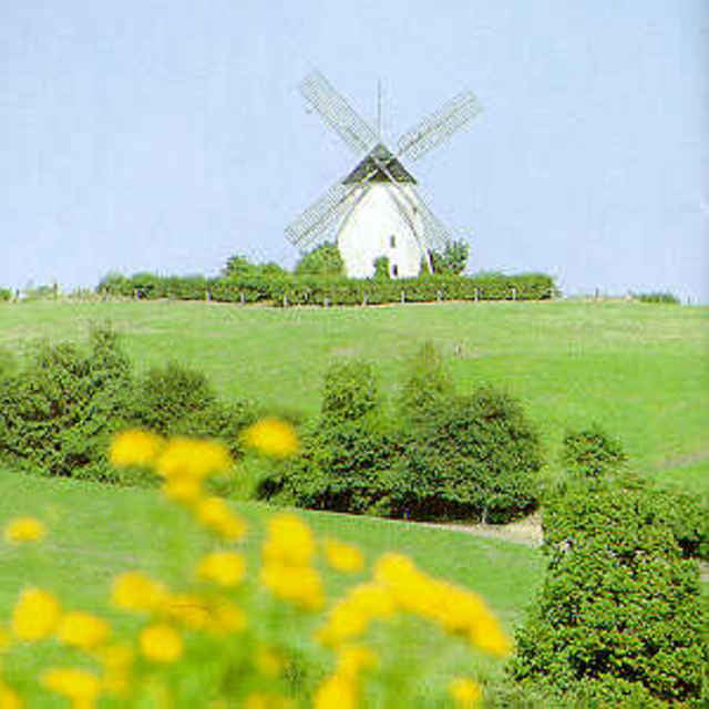
Herrliche Rennradschleife ab Herford / Bad Salzuflen im ständigen auf und nieder durch Kalletal und Lipperland mit Bergwertung auf dem 330m hohen Kleeberg.

Galeria trasy

Mapa trasy i profil wysokości

  • Open Street Map
  • Google
Minimum height 40 m Maximum height 317 m Widok szczegółowy

More about the tour author

vorsicht-mal.de
Member since 2006

Send private message

Komentarze

Los gehts entweder in Herford-Elverdissen oder Bad Salzuflen (Bahnhof)

GPS tracks

Trackpoints
  • GPX / Garmin Map Source (gpx) download
  • TCX / Garmin Training Center® (tcx) download
  • CRS / Garmin Training Center® (crs) download
  • Google Earth (kml) download
  • G7ToWin (g7t) download
  • TTQV (trk) download
  • Overlay (ovl) download
  • Fugawi (txt) download
  • Kompass (DAV) Track (tk) download
  • Karta trasy (pdf) download
  • Original file of the author (gpx) download

More about the tour author

vorsicht-mal.de
Member since 2006

Send private message
Share track
Add to my favorites
Remove from my favorites
Edit tags
My score
Rate
Trasa: Kleebergschleife
Rodzaj: Rower szosowy
Długość: 76,3 km
Evaluated on:
Czas trwania:
Day(s)
Hour(s)
Minute(s)
Ocena: Krajobraz Czynnik zadowolenia Kondycja Technika