


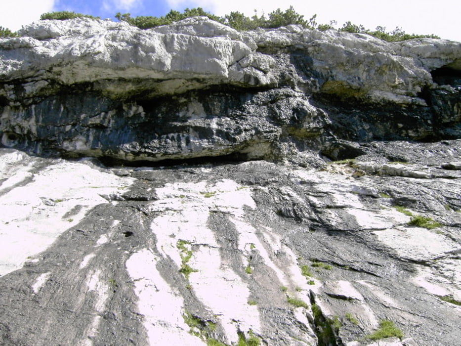
von Steinberg aus schön steil immer Richtung Guffert, am Plateau dann links und mit leichter Kraxelei auf den Guffert hinauf. Schwindelfreiheit, Trittsicherheit und gute Ausrüstung empfehlenswert. Nach der Tour ist ein Besuch beim Waldhaus und Essen eines schönen Graukäses sauer Pflicht.
Further information at
http://www.waldhaus.at/Galeria trasy
Mapa trasy i profil wysokości
Minimum height 501 m
Maximum height 2178 m
More about the tour author
|
|
meripeter |
Komentarze

Vom Tegernsee kommend Richtung Achensee, vorm Achensee Richtung Steinberg am Rofan links abbiegen bis Ortschaft Steinberg. Dort gleich unmittelbar am Gasthaus Waldhaus parken.
GPS tracks
Trackpoints-
GPX / Garmin Map Source (gpx) download
-
TCX / Garmin Training Center® (tcx) download
-
CRS / Garmin Training Center® (crs) download
-
Google Earth (kml) download
-
G7ToWin (g7t) download
-
TTQV (trk) download
-
Overlay (ovl) download
-
Fugawi (txt) download
-
Kompass (DAV) Track (tk) download
-
Karta trasy (pdf) download
-
Original file of the author (gpx) download
More about the tour author
|
|
meripeter |
Add to my favorites
Remove from my favorites
Edit tags
Open track
My score
Rate