
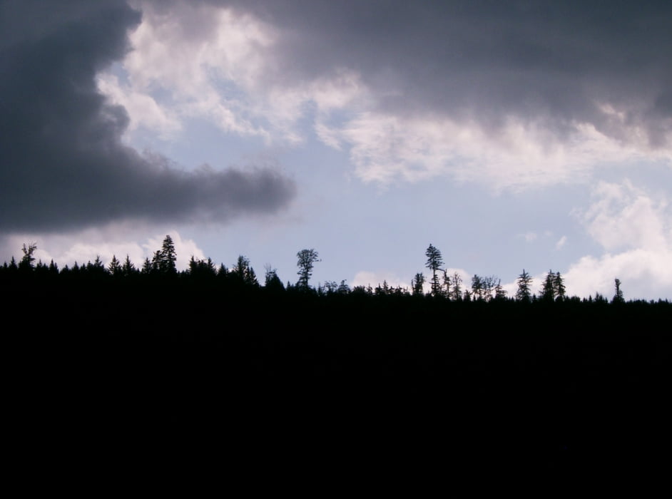

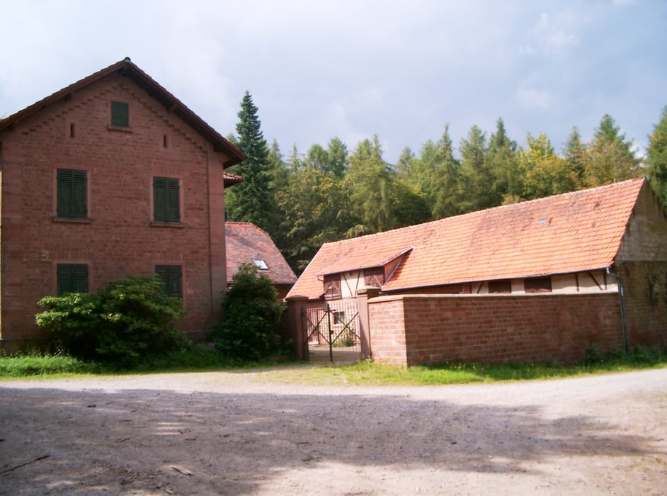
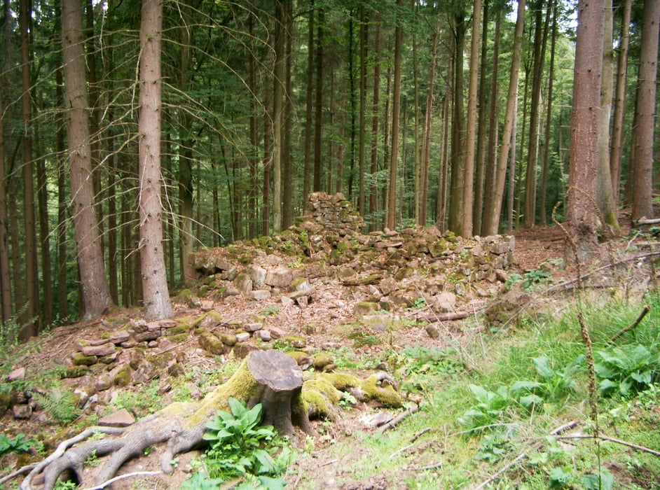
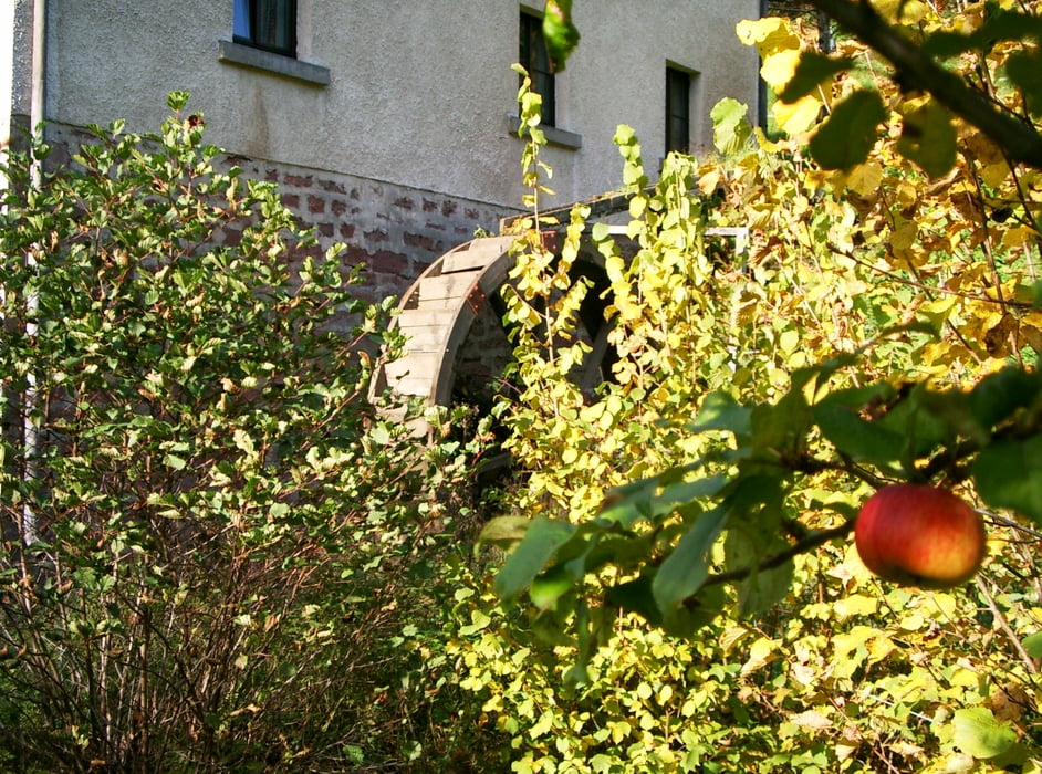
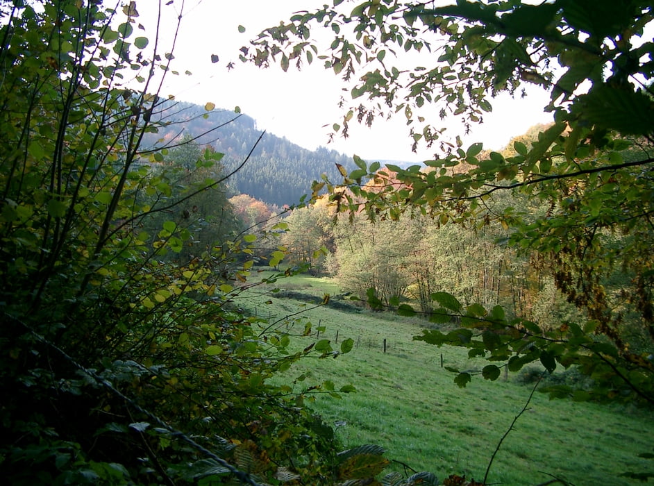
Mudau "Alter Bahnhof" - "Auf der Wanderbahn" - Langenelz - Balsbach - Wagenschwend - "Steinerner Tisch" - Abstecher zum "Jagdschloss Max Wilhelmshöhe" - Felsenhaus - ehem. Dorf Unterferdinandsdorf - Reisenbacher Grund !! Überquerung eines Wildzaunes mit vorhandener Leiter - Einkehrmöglichkeit (www.Landgasthof-zum-Grund.de) - Reisenbach - Waldauerbach - Annis Vesperhütte (Einkehrmöglichkeit) - Mudau - "Alter Bahnhof"
Further information at
http://www.Faszination-Mudau.deGaleria trasy
Mapa trasy i profil wysokości
Minimum height 387 m
Maximum height 662 m
More about the tour author

|
smg |
Komentarze

Start / Ziel: Kreisverkehr am "Alten Bahnhof" 69427 Mudau - genügend Parkmöglichkeiten vorhanden.
GPS tracks
Trackpoints-
GPX / Garmin Map Source (gpx) download
-
TCX / Garmin Training Center® (tcx) download
-
CRS / Garmin Training Center® (crs) download
-
Google Earth (kml) download
-
G7ToWin (g7t) download
-
TTQV (trk) download
-
Overlay (ovl) download
-
Fugawi (txt) download
-
Kompass (DAV) Track (tk) download
-
Karta trasy (pdf) download
-
Original file of the author (gpx) download
More about the tour author
|
|
smg |
Add to my favorites
Remove from my favorites
Edit tags
Open track
My score
Rate