

Eine wunderschöne Runde in den Schwarzwald, beginnend in der Kantstr. AKS Stiftung Pforzheim auf dem Parkplatz.
Von Beginn an geht es über einen Trail Richtung Waldkiga über den Schützenpfad und Schützensteg hinauf Ri. Hoheneck dann runter nach Dillweißenstein über den Sonnenberg ins Grösseltal.Über den Pionierweg nach Neuenbürg am Schloß vorbei und wieder runter über die Enz den Berg hinauf Ri. Schwanner Warte, ab hier nach Dobel.
Über verschiedene Trails ins Eyachtal an der Eyachmühle vorbei nach Neuenbürg und wieder nach Pforzheim.
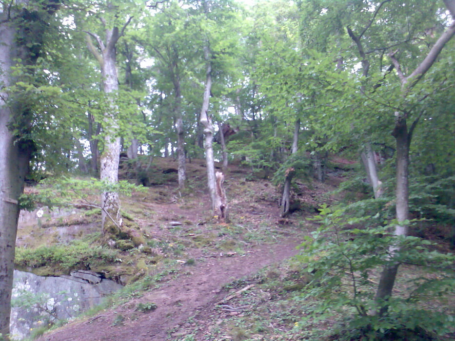
Galeria trasy

Mapa trasy i profil wysokości
Minimum height 254 m
Maximum height 726 m
More about the tour author
|
|
lapierre |
Komentarze

GPS tracks
Trackpoints-
GPX / Garmin Map Source (gpx) download
-
TCX / Garmin Training Center® (tcx) download
-
CRS / Garmin Training Center® (crs) download
-
Google Earth (kml) download
-
G7ToWin (g7t) download
-
TTQV (trk) download
-
Overlay (ovl) download
-
Fugawi (txt) download
-
Kompass (DAV) Track (tk) download
-
Karta trasy (pdf) download
-
Original file of the author (gpx) download
More about the tour author
|
|
lapierre |
Add to my favorites
Remove from my favorites
Edit tags
Open track
My score
Rate