
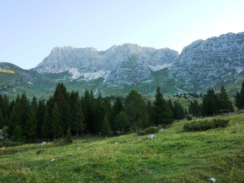

Vom Parkplatz kann man die gesamte Tour gut einsehen. Über das Rifugio Brazza hoch bis zum Forc. del Disteis, weiter Richtung Osten zur Felswand. In einer Schleife bis zur Leiter. Kurz vor der Leiter beginnt der eigentliche Klettersteig, der zwar sehr kurz, aber toll ist! Oberhalb der Leiter durch ein schottriges Feld, anschließend über den Grat zum Gipfel. Abstieg wie Aufstieg.
Galeria trasy


Mapa trasy i profil wysokości
Minimum height 1500 m
Maximum height 2746 m
More about the tour author
|
|
harald07071 |
Komentarze

In Tarvis gleich nach der österreichisch-italienischen Grenze muss man den Wegweisern Richtung Sella Nevea folgen (ca. 20 km). Ist man in Sella Nevea angekommen muss man in der ersten Kurve stark rechts abbiegen (kann leicht übersehen werden-aber Holzhinweisschilder sind aufgestellt).
Nach ca. 6 km steiler Bergstraße erreicht man den Parkplatz.
GPS tracks
Trackpoints-
GPX / Garmin Map Source (gpx) download
-
TCX / Garmin Training Center® (tcx) download
-
CRS / Garmin Training Center® (crs) download
-
Google Earth (kml) download
-
G7ToWin (g7t) download
-
TTQV (trk) download
-
Overlay (ovl) download
-
Fugawi (txt) download
-
Kompass (DAV) Track (tk) download
-
Karta trasy (pdf) download
-
Original file of the author (gpx) download
More about the tour author
|
|
harald07071 |
Add to my favorites
Remove from my favorites
Edit tags
Open track
My score
Rate