Login

Zapomniałeś swój login?

Cookies have to be accepted!
Your browser's cookie functionality is disabled. Please enable this functionality.

Not a member yet?

Register now
Login

Available for registred users only

Log in to use this feature.

Zapomniałeś swój login?

Cookies have to be accepted!
Your browser's cookie functionality is disabled. Please enable this functionality.

Not a member yet?

Register now
Filter
Kategorie
Advanced filters
  • Długość (km)
  • Wysokość
Zapisz filtr Reset filter

TrackRank

QRCode

Technical data

Długość56,1 km Wysokość1101 m Way down1178 m Czas trwania05:00 h:m Data29.08.2009
Oceny Author Krajobraz Czynnik zadowolenia Kondycja Technika

Statystyka

359 Widoki Oceny 116 Downloads / Pliki do pobrania Przeciętnie
Rate
  • Karta trasy
  • Dojazd
  • Downloads / Pliki do pobrania

Start: Unken (Friedelwirt)

1. Runter nach Unken

2. Rüber nach Reith

3. Sehr schöner Weg nach Au

4. Nun geht´s hoch zum Wildental

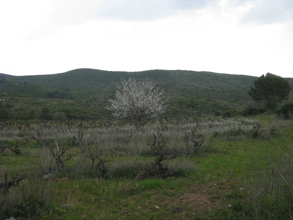
5. Weiter Hoch zur Litzlalm

6. Nun folgt eine nette Pause ... ... ...

7. Es folgt eine rasante Abfahrt nach Deutschland (Berchtesgaden)

8. Am Hintersee (Ramsau) vorbei

9. Taubensee wird gestreift

10. Nächster Ort: Oberjettenberg

11. Nun kommt ein netter Wurzeltrail zum Ende hin

12. Zurück nach Unken

Ende: Unken (Feuerwehr)


Mapa trasy i profil wysokości

  • Open Street Map
  • Google
Minimum height 532 m Maximum height 1323 m Widok szczegółowy

More about the tour author

Calvizie
Member since 2009

Send private message

Komentarze

GPS tracks

Trackpoints
  • GPX / Garmin Map Source (gpx) download
  • TCX / Garmin Training Center® (tcx) download
  • CRS / Garmin Training Center® (crs) download
  • Google Earth (kml) download
  • G7ToWin (g7t) download
  • TTQV (trk) download
  • Overlay (ovl) download
  • Fugawi (txt) download
  • Kompass (DAV) Track (tk) download
  • Karta trasy (pdf) download
  • Original file of the author (gpx) download

More about the tour author

Calvizie
Member since 2009

Send private message
Share track
Add to my favorites
Remove from my favorites
Edit tags
My score
Rate
Trasa: Urlaubstour 2009 -Unken-
Rodzaj: Rower górski (MTB)
Długość: 56,1 km
Evaluated on:
Czas trwania:
Day(s)
Hour(s)
Minute(s)
Ocena: Krajobraz Czynnik zadowolenia Kondycja Technika