Login

Zapomniałeś swój login?

Cookies have to be accepted!
Your browser's cookie functionality is disabled. Please enable this functionality.

Not a member yet?

Register now
Login

Available for registred users only

Log in to use this feature.

Zapomniałeś swój login?

Cookies have to be accepted!
Your browser's cookie functionality is disabled. Please enable this functionality.

Not a member yet?

Register now
Filter
Kategorie
Advanced filters
  • Długość (km)
  • Wysokość
Zapisz filtr Reset filter

TrackRank

QRCode

Technical data

Długość35,8 km Wysokość736 m Way down731 m Czas trwania00:00 h:m Data29.08.2009
Oceny Author User Krajobraz Czynnik zadowolenia Kondycja Technika

Statystyka

1469 Widoki 3 Oceny 363 Downloads / Pliki do pobrania 4.67 Przeciętnie
Rate
  • Karta trasy
  • Dojazd
  • Downloads / Pliki do pobrania
Start Parkplatz am Holzmaar.
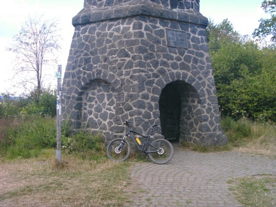
Galeria trasy

Mapa trasy i profil wysokości

  • Open Street Map
  • Google
Minimum height 342 m Maximum height 565 m Widok szczegółowy

More about the tour author

Tropedo-Fahrrad
Member since 2008

Send private message

Komentarze

USmith on 05.07.2011

Danke für den Track

Diese Tour sind wir an unserem BikeWeekEnd abgefahren. (s. http://19q.eu0a44230 ) Das Wetter war nicht besonders, aber dennoch hat es uns großen Spaß gemacht.
Vielen Dank für den Tourtrack.

Hallo Mountainbiker aus NRW,

freut mich das euch die Tour gefallen hat! Schade das ihr mit dem Wetter Pech hattet. Wünsche euch noch viele schöne Trails dieses Jahr unter den Stollen!
In diesem Sinne...Open Trails..
..und Grüße aus der Eifel
Dieter
USmith on 17.07.2011

Oops

In meinem Link fehlte ein Slasch, so ist's besser:
http://19q.eu/0a44230
tombos on 23.07.2013

einfache Tour

Ich bin die Tour am 13.07.2013 gefahren. Sie enthält kaum fahrtechnische Herausforderungen und gibt einen schönen Überblick über das Maarenland. Überwiegend Forstwege.
Vielen Dank für den Track!

GPS tracks

Trackpoints
  • GPX / Garmin Map Source (gpx) download
  • TCX / Garmin Training Center® (tcx) download
  • CRS / Garmin Training Center® (crs) download
  • Google Earth (kml) download
  • G7ToWin (g7t) download
  • TTQV (trk) download
  • Overlay (ovl) download
  • Fugawi (txt) download
  • Kompass (DAV) Track (tk) download
  • Karta trasy (pdf) download
  • Original file of the author (gpx) download

More about the tour author

Tropedo-Fahrrad
Member since 2008

Send private message
Share track
Add to my favorites
Remove from my favorites
Edit tags
My score
Rate
Trasa: 6 Maare Tour Deluxe
Rodzaj: Rower górski (MTB)
Długość: 35,8 km
Evaluated on:
Czas trwania:
Day(s)
Hour(s)
Minute(s)
Ocena: Krajobraz Czynnik zadowolenia Kondycja Technika