


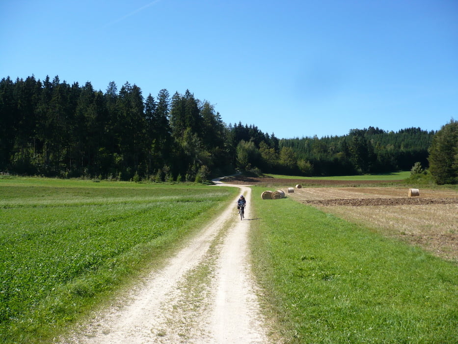
Leichte, aber landschaftlich eine Supertour von Trochtelfingen über die Münsinger Alb wieder zurück nach Trochtelfingen.
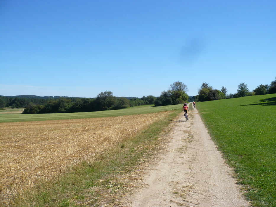
Die Tour führt hauptsächlich über Schotter- und Asphaltwege quer durch eine tolle Landschaft. Aufgrund der nur knapp 500 Höhenmetern eine Tour, die auch jederzeit mit einem Trekkingbike und von Familien mit Kids gefahren werden kann.
Nach der Tour besteht beste Einkehrmöglichkeit im Restaurant des Alb-Gold Kundencenters. Dort besteht ebenfalls Einkaufsmöglichkeit im Alb-Gold Verkaufsladen mit tollen Köstlichkeiten. Absolut ein Besuch wert !
Galeria trasy


Mapa trasy i profil wysokości
Minimum height 702 m
Maximum height 823 m
More about the tour author
|
|
olifel62 |
Komentarze

Beginn und Ende der Tour ist das Alb-Gold Kundencenter Trochtelfingen. Kurz nach der Honauer Steige erreicht man über Großengstingen das ausgeschilderte Alb-Gold Kundencenter an der B313. Dort besteht gute Parkmöglichkeit.
GPS tracks
Trackpoints-
GPX / Garmin Map Source (gpx) download
-
TCX / Garmin Training Center® (tcx) download
-
CRS / Garmin Training Center® (crs) download
-
Google Earth (kml) download
-
G7ToWin (g7t) download
-
TTQV (trk) download
-
Overlay (ovl) download
-
Fugawi (txt) download
-
Kompass (DAV) Track (tk) download
-
Karta trasy (pdf) download
-
Original file of the author (gpx) download
More about the tour author
|
|
olifel62 |
Add to my favorites
Remove from my favorites
Edit tags
Open track
My score
Rate