Login

Zapomniałeś swój login?

Cookies have to be accepted!
Your browser's cookie functionality is disabled. Please enable this functionality.

Not a member yet?

Register now
Login

Available for registred users only

Log in to use this feature.

Zapomniałeś swój login?

Cookies have to be accepted!
Your browser's cookie functionality is disabled. Please enable this functionality.

Not a member yet?

Register now
Filter
Kategorie
Advanced filters
  • Długość (km)
  • Wysokość
Zapisz filtr Reset filter

TrackRank

QRCode

Technical data

Długość15,2 km Wysokość56 m Way down105 m Czas trwania03:30 h:m Data04.09.2009
Oceny Author Krajobraz Czynnik zadowolenia Kondycja Technika

Statystyka

1611 Widoki Oceny 42 Downloads / Pliki do pobrania Przeciętnie
Rate
  • Karta trasy
  • Dojazd
  • Downloads / Pliki do pobrania

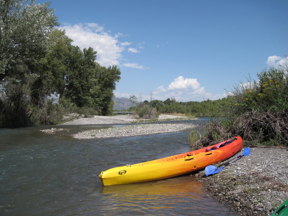
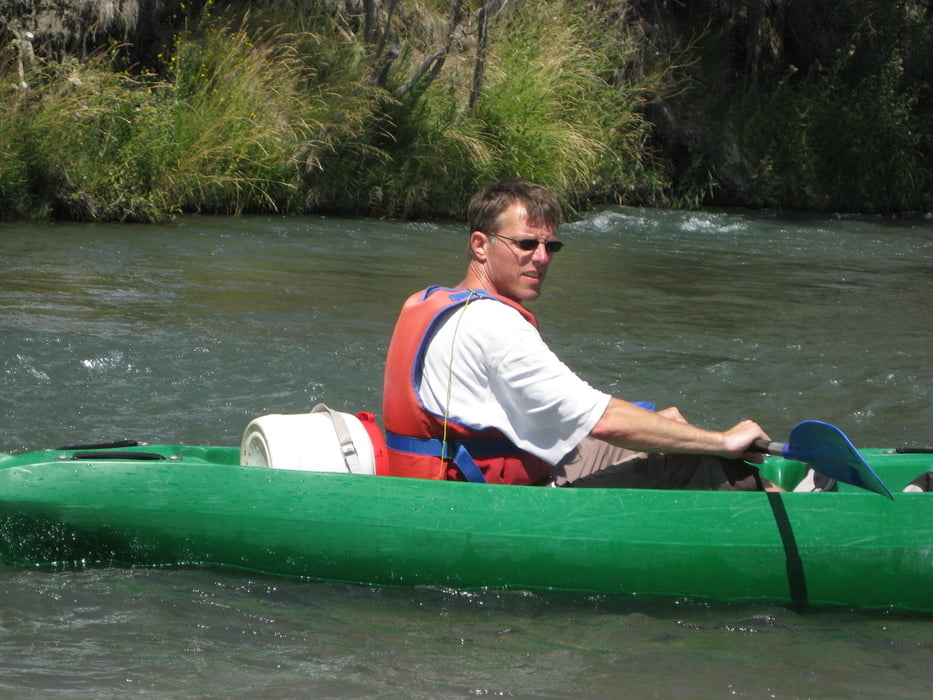
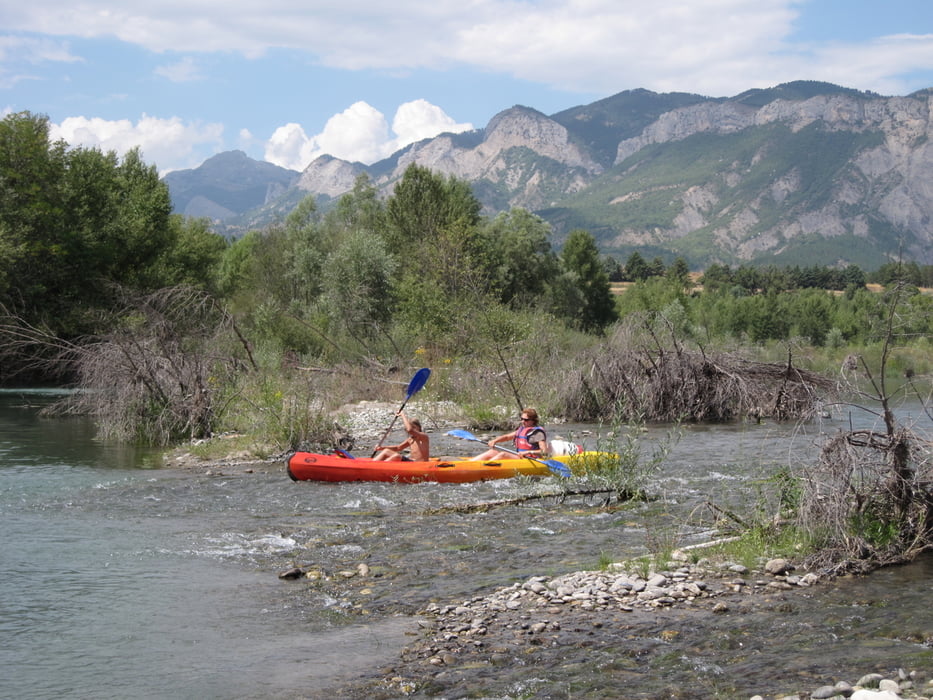
Schöne Tour auf der Durance. Die Boote hatten wir geliehen und wurden von der Verleihstation nach La Saulce gefahren.

weiter Paddeltouren in Frankreich:


(Haftungsausschluss: siehe Nutzungsbestimmungen)

Further information at

http://de.wikipedia.org/wiki/Durance

Galeria trasy

Mapa trasy i profil wysokości

  • Open Street Map
  • Google
Minimum height 521 m Maximum height 575 m Widok szczegółowy

More about the tour author

riemchens
Member since 2009

Send private message

Komentarze

Auf der N95 bis von Süden 2 km vor Valentry rechts abbiegen . Canoe-Naturel-Station ist ausgeschildert.

GPS tracks

Trackpoints
  • GPX / Garmin Map Source (gpx) download
  • TCX / Garmin Training Center® (tcx) download
  • CRS / Garmin Training Center® (crs) download
  • Google Earth (kml) download
  • G7ToWin (g7t) download
  • TTQV (trk) download
  • Overlay (ovl) download
  • Fugawi (txt) download
  • Kompass (DAV) Track (tk) download
  • Karta trasy (pdf) download
  • Original file of the author (gpx) download

More about the tour author

riemchens
Member since 2009

Send private message
Share track
Add to my favorites
Remove from my favorites
Edit tags
My score
Rate
Trasa: Durance
Rodzaj: Łodzi i kajaków
Długość: 15,2 km
Evaluated on:
Czas trwania:
Day(s)
Hour(s)
Minute(s)
Ocena: Krajobraz Czynnik zadowolenia Kondycja Technika