Login

Zapomniałeś swój login?

Cookies have to be accepted!
Your browser's cookie functionality is disabled. Please enable this functionality.

Not a member yet?

Register now
Login

Available for registred users only

Log in to use this feature.

Zapomniałeś swój login?

Cookies have to be accepted!
Your browser's cookie functionality is disabled. Please enable this functionality.

Not a member yet?

Register now
Filter
Kategorie
Advanced filters
  • Długość (km)
  • Wysokość
Zapisz filtr Reset filter

TrackRank

QRCode

Technical data

Długość9,4 km Wysokość139 m Way down157 m Czas trwania00:45 h:m Data06.09.2009
Oceny Author Krajobraz Czynnik zadowolenia Kondycja Technika

Statystyka

3509 Widoki Oceny 296 Downloads / Pliki do pobrania Przeciętnie
Rate
  • Karta trasy
  • Dojazd
  • Downloads / Pliki do pobrania

Eine kurze aber intensive Tour, ideal als "Feierabendparkour"(jedenfalls im Sommer).

Für Winterzeit evtl. mit gutem LED-Fluter. Einstieg im Steinbachtal ist gut zum Warmfahren.

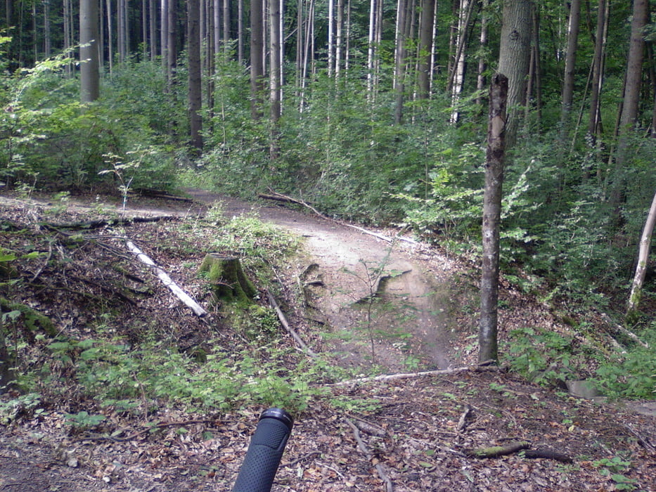
Schotterweg den man sich mit Joggern/Fußgängern teilt. Knotenpunkt oder eigentlicher Einstieg in den Trail liegt bei einem Buswendeplatz am hinteren Ende des Steinbachtals.... 


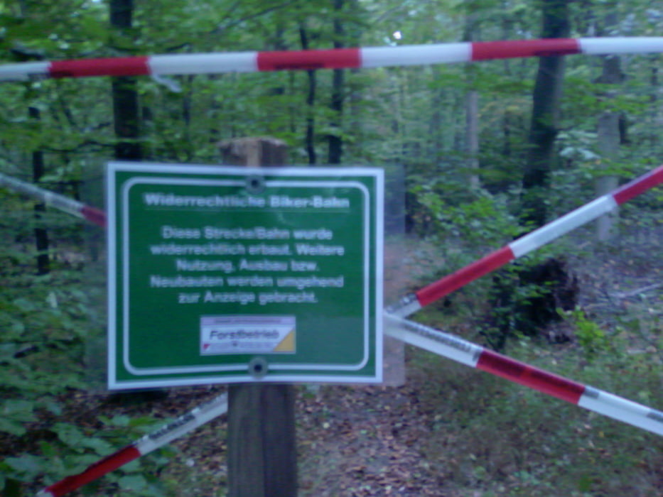
Technisch relativ anspruchsvoll.... 

Galeria trasy

Mapa trasy i profil wysokości

  • Open Street Map
  • Google
Minimum height 156 m Maximum height 290 m Widok szczegółowy

More about the tour author

teebike
Member since 2009

Send private message

Komentarze

GPS tracks

Trackpoints
  • GPX / Garmin Map Source (gpx) download
  • TCX / Garmin Training Center® (tcx) download
  • CRS / Garmin Training Center® (crs) download
  • Google Earth (kml) download
  • G7ToWin (g7t) download
  • TTQV (trk) download
  • Overlay (ovl) download
  • Fugawi (txt) download
  • Kompass (DAV) Track (tk) download
  • Karta trasy (pdf) download
  • Original file of the author (gpx) download

More about the tour author

teebike
Member since 2009

Send private message
Share track
Add to my favorites
Remove from my favorites
Edit tags
My score
Rate
Trasa: Steinbachtal Tricky Trails
Rodzaj: Rower górski (MTB)
Długość: 9,4 km
Evaluated on:
Czas trwania:
Day(s)
Hour(s)
Minute(s)
Ocena: Krajobraz Czynnik zadowolenia Kondycja Technika