Login

Zapomniałeś swój login?

Cookies have to be accepted!
Your browser's cookie functionality is disabled. Please enable this functionality.

Not a member yet?

Register now
Login

Available for registred users only

Log in to use this feature.

Zapomniałeś swój login?

Cookies have to be accepted!
Your browser's cookie functionality is disabled. Please enable this functionality.

Not a member yet?

Register now
Filter
Kategorie
Advanced filters
  • Długość (km)
  • Wysokość
Zapisz filtr Reset filter

TrackRank

QRCode

Technical data

Długość6,1 km Wysokość746 m Way down0 m Czas trwania00:00 h:m Data06.09.2009
Oceny Author User Krajobraz Czynnik zadowolenia Kondycja Technika

Statystyka

13598 Widoki 2 Oceny 174 Downloads / Pliki do pobrania 3.50 Przeciętnie
Rate
  • Karta trasy
  • Dojazd
  • Downloads / Pliki do pobrania

Tolle Bergwanderung vom Passionsspielort Oberammergau auf den Laber, Start ist die Talstation der nostalgischen Laber-Bergbahn.

Es gibt zahlreiche Streckenvarianten auf den Laber z.B. kann die Tour auch über das Ettaler Mandl gemacht werden.

Die Bergstation ist bewirtet

Further information at

http://www.laber-bergbahn.de

Galeria trasy

Mapa trasy i profil wysokości

  • Open Street Map
  • Google
Minimum height 840 m Maximum height 1692 m Widok szczegółowy

More about the tour author

Ritzelflitzer
Member since 2008

Send private message

Komentarze

C3D4 on 08.10.2010

Wanderung auf den Laber

Wanderung ideal im Sommer oder auch im Herbst (landschaftlich noch viel schöner) auf guten Wegen, über lange Strecke am Anfang sogar Forststraße.
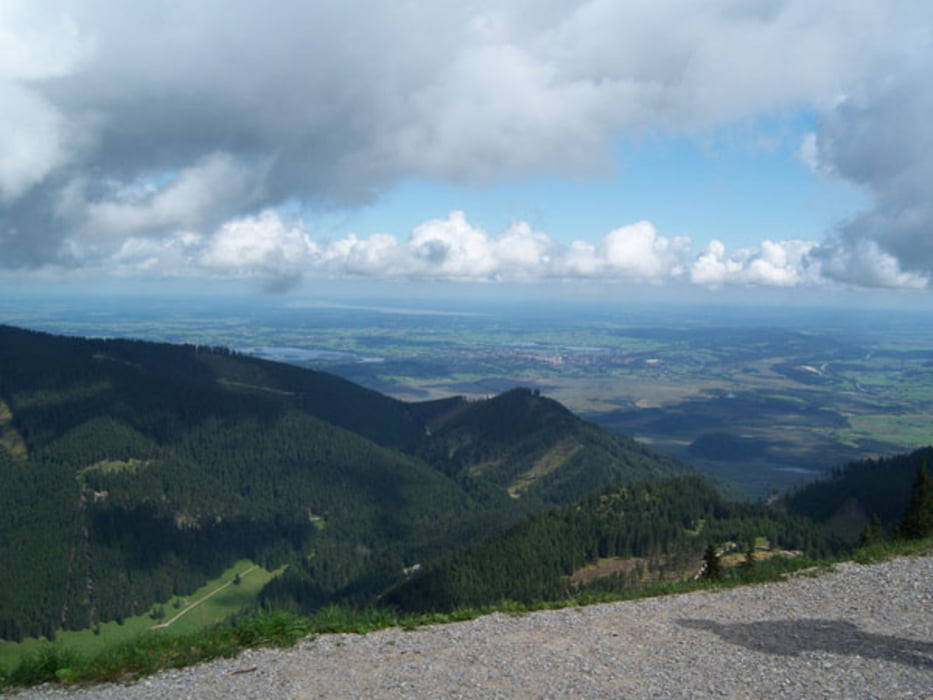
Einkehrmöglichkeit unterwegs auf der Soilealm. Letztes Stück ein wenig anstrengend, dafür belohnt einen der sagenhafte Ausblick.

GPS tracks

Trackpoints
  • GPX / Garmin Map Source (gpx) download
  • TCX / Garmin Training Center® (tcx) download
  • CRS / Garmin Training Center® (crs) download
  • Google Earth (kml) download
  • G7ToWin (g7t) download
  • TTQV (trk) download
  • Overlay (ovl) download
  • Fugawi (txt) download
  • Kompass (DAV) Track (tk) download
  • Karta trasy (pdf) download
  • Original file of the author (gpx) download

More about the tour author

Ritzelflitzer
Member since 2008

Send private message
Share track
Add to my favorites
Remove from my favorites
Edit tags
My score
Rate
Trasa: Bergwanderung von Oberammergau auf den Laber
Rodzaj: Trasy górskie
Długość: 6,1 km
Evaluated on:
Czas trwania:
Day(s)
Hour(s)
Minute(s)
Ocena: Krajobraz Czynnik zadowolenia Kondycja Technika