


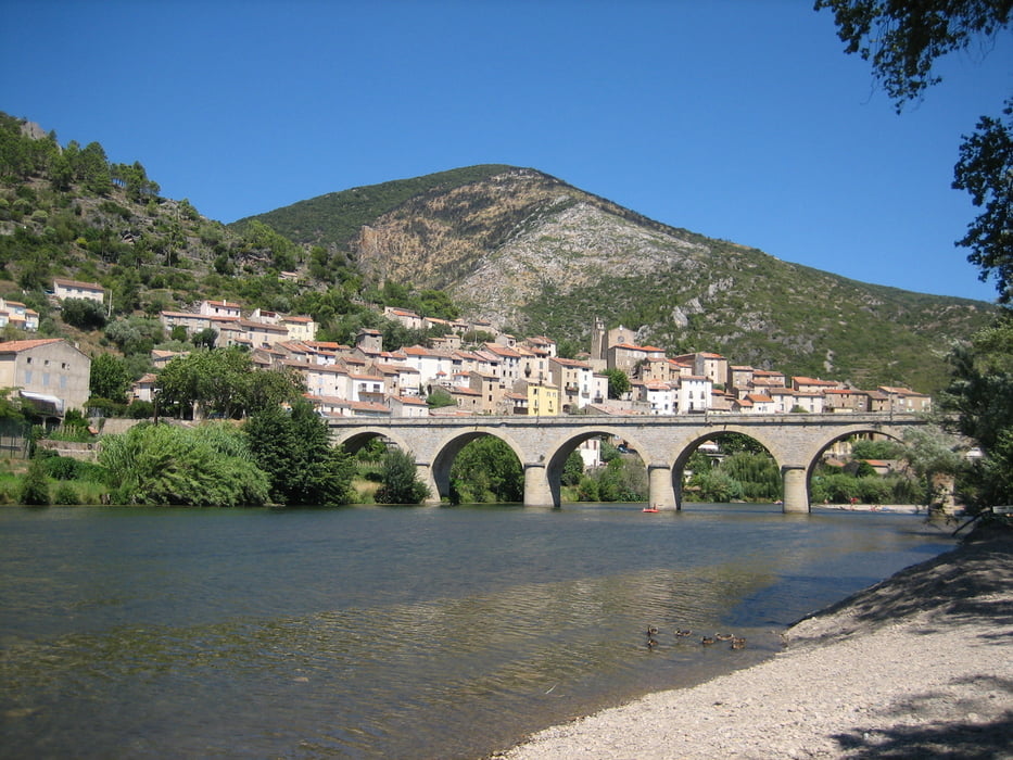
Der Orb ist ein Fluss in Südfrankreich, der überwiegend in der Region Languedoc-Roussillon verläuft. Der Orb durchquert die Montagne Noire und die Berge bei Faugères. Schließlich passiert der Fluss die Ebene bei Béziers (sehenswert), wo er vom Canal du Midi (Ausflug zu den 9 Schleusen machen !) überquert wird (Kanalbrücke).
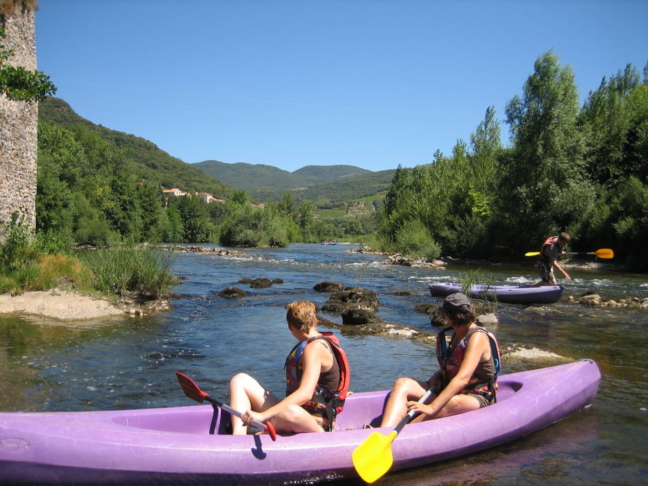
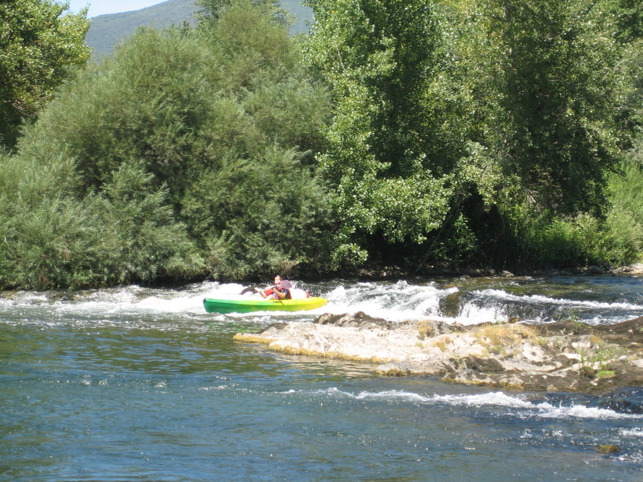
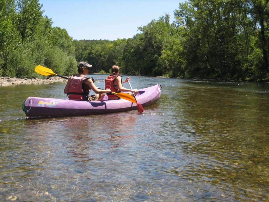
Wir paddelten auf dem Orb nur eine sehr kurze Strecke in wunderschöner Landschaft. Beeindruckend war das wirklich glasklare Wasser. Der Fluss war fast so beeindruckend wie der Allièr.
(Haftungsausschluss: siehe Nutzungsbestimmungen)
Wir paddelten auf dem Orb nur eine sehr kurze Strecke in wunderschöner Landschaft. Beeindruckend war das wirklich glasklare Wasser. Der Fluss war fast so beeindruckend wie der Allièr.
(Haftungsausschluss: siehe Nutzungsbestimmungen)
Further information at
http://de.wikipedia.org/wiki/OrbGaleria trasy
Mapa trasy i profil wysokości
Minimum height 4 m
Maximum height 94 m
More about the tour author
|
|
riemchens |
Komentarze

GPS tracks
Trackpoints-
GPX / Garmin Map Source (gpx) download
-
TCX / Garmin Training Center® (tcx) download
-
CRS / Garmin Training Center® (crs) download
-
Google Earth (kml) download
-
G7ToWin (g7t) download
-
TTQV (trk) download
-
Overlay (ovl) download
-
Fugawi (txt) download
-
Kompass (DAV) Track (tk) download
-
Karta trasy (pdf) download
-
Original file of the author (gpx) download
More about the tour author
|
|
riemchens |
Add to my favorites
Remove from my favorites
Edit tags
Open track
My score
Rate