Login

Zapomniałeś swój login?

Cookies have to be accepted!
Your browser's cookie functionality is disabled. Please enable this functionality.

Not a member yet?

Register now
Login

Available for registred users only

Log in to use this feature.

Zapomniałeś swój login?

Cookies have to be accepted!
Your browser's cookie functionality is disabled. Please enable this functionality.

Not a member yet?

Register now
Filter
Kategorie
Advanced filters
  • Długość (km)
  • Wysokość
Zapisz filtr Reset filter

TrackRank

QRCode

Technical data

Długość16,8 km Wysokość374 m Way down364 m Czas trwania02:00 h:m Data11.09.2009
Oceny Author Krajobraz Czynnik zadowolenia Kondycja Technika

Statystyka

424 Widoki Oceny 109 Downloads / Pliki do pobrania Przeciętnie
Rate
  • Karta trasy
  • Dojazd
  • Downloads / Pliki do pobrania

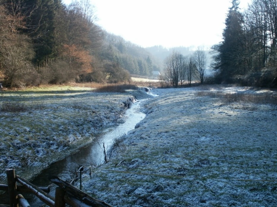
Diese Tour führt dich an den Seitenarmen des Obersauerstausees entlang und bietet herrliche Ausblicke.

Achtung: die letzen 500m zurück zum Parkplatz sind gefährlich!

Mapa trasy i profil wysokości

  • Open Street Map
  • Google
Minimum height 323 m Maximum height 457 m Widok szczegółowy

More about the tour author

oludovicy
Member since 2009

Send private message

Komentarze

Parking bei der Brücke zwischen Lultzhausen und Esch/Sauer:

N49 54.421 E5 54.395

GPS tracks

Trackpoints
  • GPX / Garmin Map Source (gpx) download
  • TCX / Garmin Training Center® (tcx) download
  • CRS / Garmin Training Center® (crs) download
  • Google Earth (kml) download
  • G7ToWin (g7t) download
  • TTQV (trk) download
  • Overlay (ovl) download
  • Fugawi (txt) download
  • Kompass (DAV) Track (tk) download
  • Karta trasy (pdf) download
  • Original file of the author (gpx) download

More about the tour author

oludovicy
Member since 2009

Send private message
Share track
Add to my favorites
Remove from my favorites
Edit tags
My score
Rate
Trasa: Kaalwergronn
Rodzaj: Rower górski (MTB)
Długość: 16,8 km
Evaluated on:
Czas trwania:
Day(s)
Hour(s)
Minute(s)
Ocena: Krajobraz Czynnik zadowolenia Kondycja Technika