Login

Zapomniałeś swój login?

Cookies have to be accepted!
Your browser's cookie functionality is disabled. Please enable this functionality.

Not a member yet?

Register now
Login

Available for registred users only

Log in to use this feature.

Zapomniałeś swój login?

Cookies have to be accepted!
Your browser's cookie functionality is disabled. Please enable this functionality.

Not a member yet?

Register now
Filter
Kategorie
Advanced filters
  • Długość (km)
  • Wysokość
Zapisz filtr Reset filter

TrackRank

QRCode

Technical data

Długość29,1 km Wysokość818 m Way down818 m Czas trwania02:30 h:m Data12.09.2009
Oceny Author User Krajobraz Czynnik zadowolenia Kondycja Technika

Statystyka

1570 Widoki 2 Oceny 151 Downloads / Pliki do pobrania 4.00 Przeciętnie
Rate
  • Karta trasy
  • Dojazd
  • Downloads / Pliki do pobrania
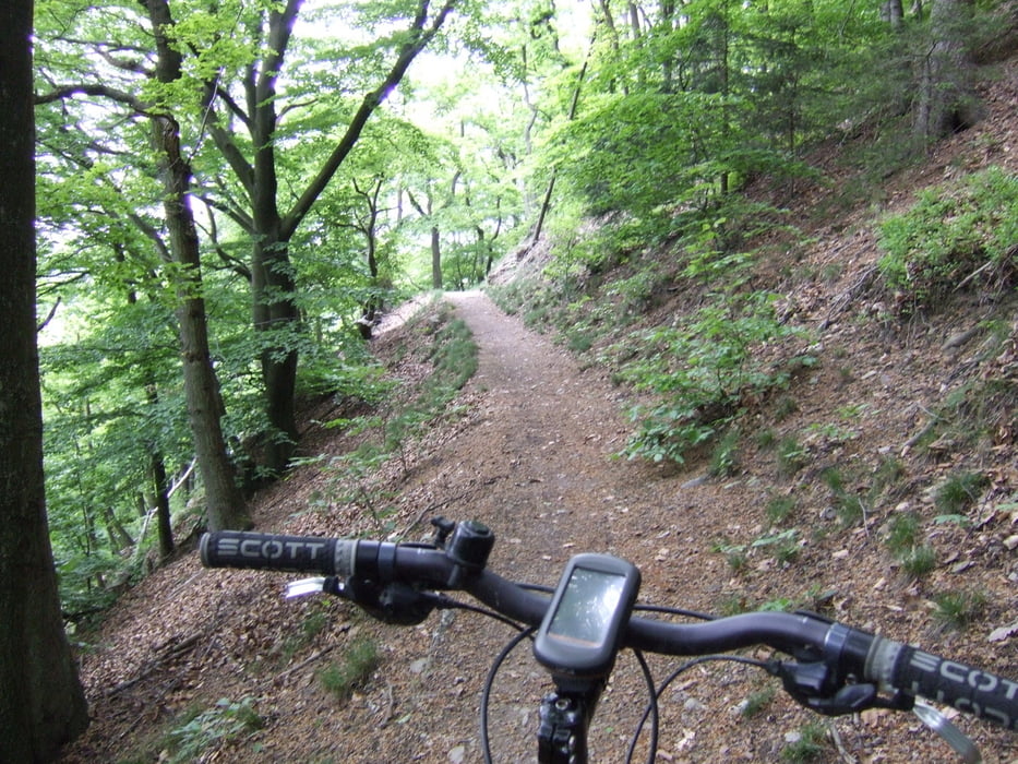
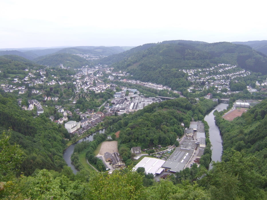
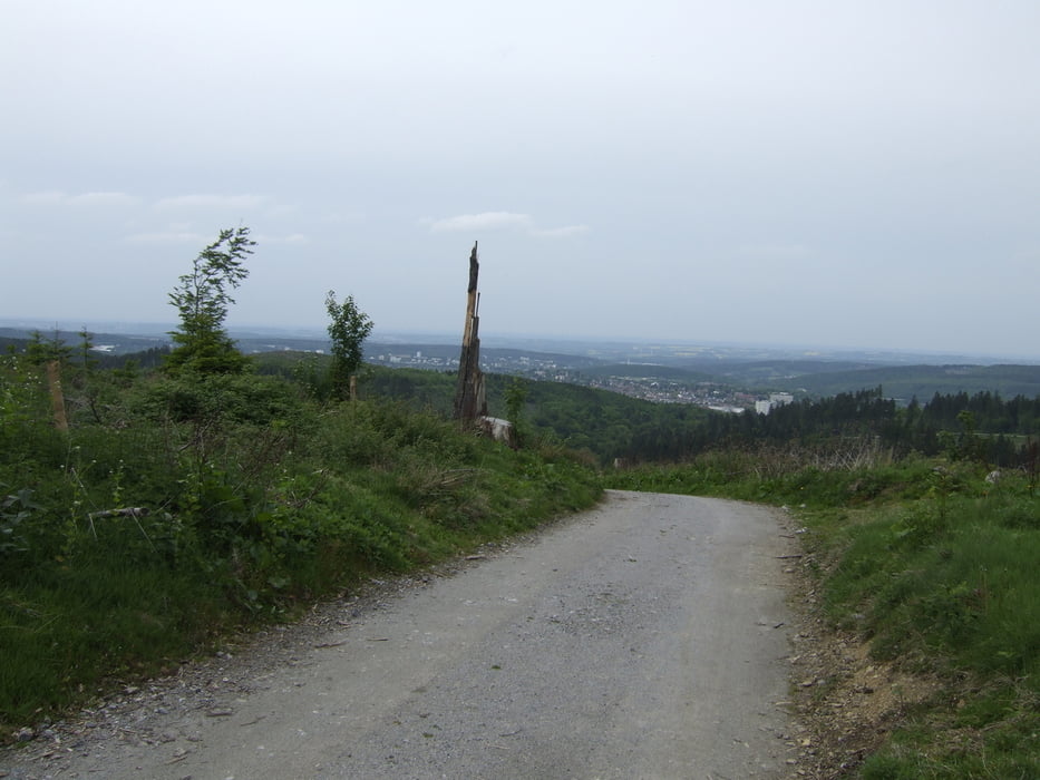
Schöne Panoramatour mit teilweise steilen Anstiegen und einigen Trails.

Galeria trasy

Mapa trasy i profil wysokości

  • Open Street Map
  • Google
Minimum height 153 m Maximum height 479 m Widok szczegółowy

More about the tour author

alienatwork
Member since 2009

Send private message

Komentarze

RadelJan on 28.08.2011

Schöne Tour

Ich bin vor kurzem die Strecke abgefahren, d.h. ich habs versucht. Ohne gps gerät ist es quasi unmöglich auf der Strecke zu bleiben. Von der Landschaft her ist die Tour unschlagbar. Danke für den Tipp und die Mühe!

GPS tracks

Trackpoints
  • GPX / Garmin Map Source (gpx) download
  • TCX / Garmin Training Center® (tcx) download
  • CRS / Garmin Training Center® (crs) download
  • Google Earth (kml) download
  • G7ToWin (g7t) download
  • TTQV (trk) download
  • Overlay (ovl) download
  • Fugawi (txt) download
  • Kompass (DAV) Track (tk) download
  • Karta trasy (pdf) download
  • Original file of the author (gpx) download

More about the tour author

alienatwork
Member since 2009

Send private message
Share track
Add to my favorites
Remove from my favorites
Edit tags
My score
Rate
Trasa: Panoramatour Iserlohn - Nachrodt - Altena
Rodzaj: Rower górski (MTB)
Długość: 29,1 km
Evaluated on:
Czas trwania:
Day(s)
Hour(s)
Minute(s)
Ocena: Krajobraz Czynnik zadowolenia Kondycja Technika