Login

Zapomniałeś swój login?

Cookies have to be accepted!
Your browser's cookie functionality is disabled. Please enable this functionality.

Not a member yet?

Register now
Login

Available for registred users only

Log in to use this feature.

Zapomniałeś swój login?

Cookies have to be accepted!
Your browser's cookie functionality is disabled. Please enable this functionality.

Not a member yet?

Register now
Filter
Kategorie
Advanced filters
  • Długość (km)
  • Wysokość
Zapisz filtr Reset filter

TrackRank

QRCode

Technical data

Długość12,6 km Wysokość840 m Way down1118 m Czas trwania05:00 h:m Data12.09.2009
Oceny Author Krajobraz Czynnik zadowolenia Kondycja Technika

Statystyka

2108 Widoki Oceny 102 Downloads / Pliki do pobrania Przeciętnie
Rate
  • Karta trasy
  • Dojazd
  • Downloads / Pliki do pobrania

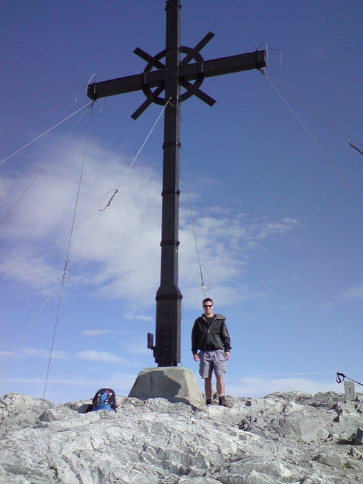
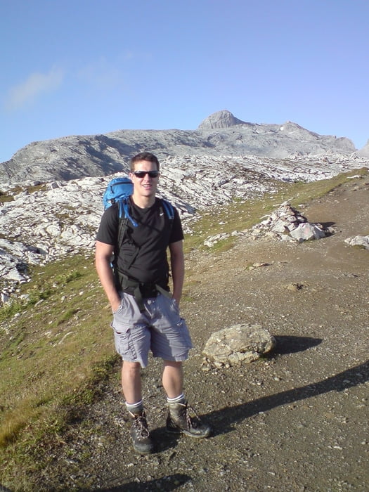
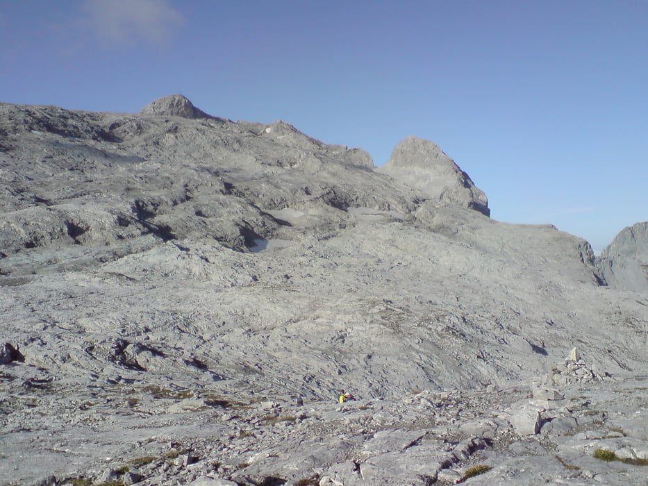
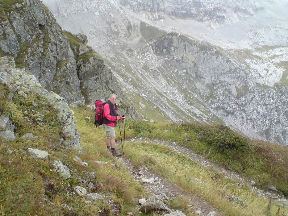
Von der Tilisuna- Hütte (2208m) ging es auf den Sulzfluh (2818m) auf gleichem Weg zurück und über den Rätikonhöhenweg- Nord, den Bilkengrat hinunter zur Lindauer Hütte (1744m).

Absolut lohnenswert, wunderschöne Aussicht vom Sulzfluh in die Schweiz und über die Voralberger Berge. Schöner Abstieg über den Bilkengrat zur Lindauer Hütte.

Angegebene Marschzeiten: Tilisuna-Hütte zum Sulzfluh (2,5h) und Sulzfluh zur Lindauer-Hütte (3,5h)

Galeria trasy

Mapa trasy i profil wysokości

  • Open Street Map
  • Google
Minimum height 1769 m Maximum height 2816 m Widok szczegółowy

More about the tour author

marcatibiza
Member since 2009

Send private message

Komentarze

GPS tracks

Trackpoints
  • GPX / Garmin Map Source (gpx) download
  • TCX / Garmin Training Center® (tcx) download
  • CRS / Garmin Training Center® (crs) download
  • Google Earth (kml) download
  • G7ToWin (g7t) download
  • TTQV (trk) download
  • Overlay (ovl) download
  • Fugawi (txt) download
  • Kompass (DAV) Track (tk) download
  • Karta trasy (pdf) download
  • Original file of the author (gpx) download

More about the tour author

marcatibiza
Member since 2009

Send private message
Share track
Add to my favorites
Remove from my favorites
Edit tags
My score
Rate
Trasa: Tilisuna Hütte_Sulzfluh_Lindauer Hütte
Rodzaj: Trasy górskie
Długość: 12,6 km
Evaluated on:
Czas trwania:
Day(s)
Hour(s)
Minute(s)
Ocena: Krajobraz Czynnik zadowolenia Kondycja Technika