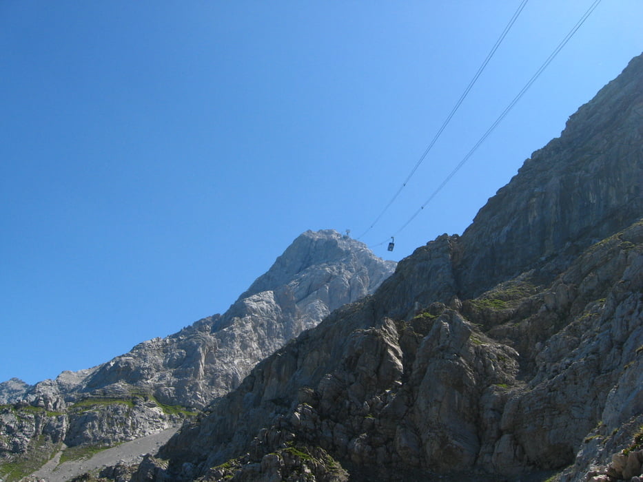
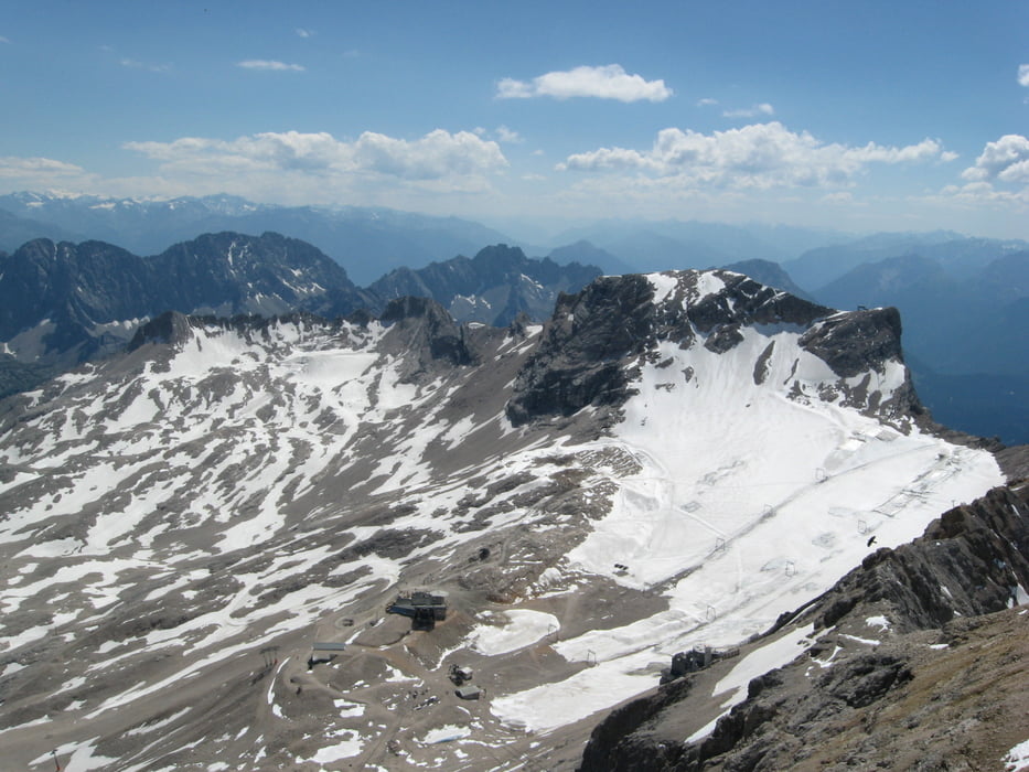
Dieser Weg wurde schon vor GPS Zeiten mehrmals beschrieben. z.B.:
http://www.hoess-berge.de/tourendesc/tour393desc.htm
oder
http://www.helbob.de/berge/zugspitze-eibsee/zugspitze-eibsee.html
Da kann ich nicht viel Neues dazu sagen. Der Weg ist gut geschildert und gesichert. Bei gutem Wetter bis zum Gipfel braucht man, je nach Kondition, 4.5 - 6 Stunden.
Galeria trasy
Mapa trasy i profil wysokości
Minimum height 968 m
Maximum height 2943 m
Komentarze

GPS tracks
Trackpoints-
GPX / Garmin Map Source (gpx) download
-
TCX / Garmin Training Center® (tcx) download
-
CRS / Garmin Training Center® (crs) download
-
Google Earth (kml) download
-
G7ToWin (g7t) download
-
TTQV (trk) download
-
Overlay (ovl) download
-
Fugawi (txt) download
-
Kompass (DAV) Track (tk) download
-
Karta trasy (pdf) download
-
Original file of the author (gpx) download
Add to my favorites
Remove from my favorites
Edit tags
Open track
My score
Rate


