


Ich muss an dieser Stelle gestehen, wir haben abgekürzt … die ersten 400hm haben wir mit der Gondelbahn überwunden … aber nur, weil sie mit der Gästekarte gratis war ;-)
Ab der Bergstation geht es dann kontinuierlich 600hm über die Unterpartnomalpe hinauf zum Glattmar.
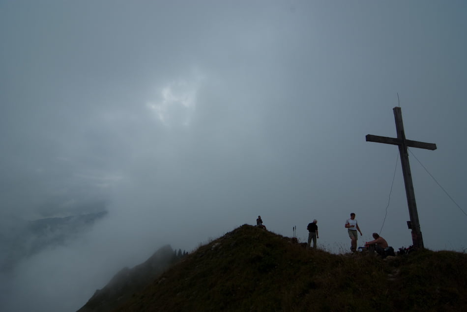
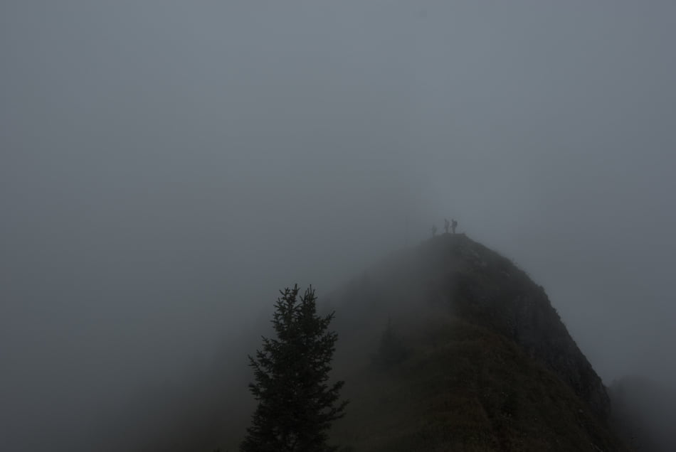
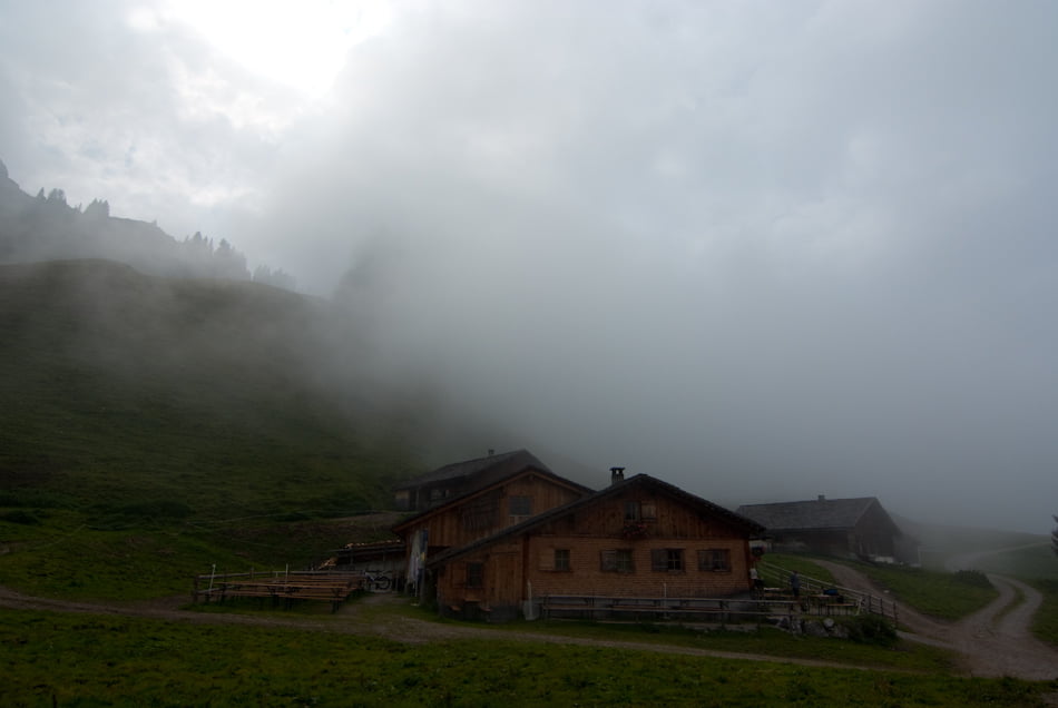
Von dort hat man normalerweise einen traumhaften Ausblick … wir hatten ca. 50 Meter Sicht, da das Wetter während des Aufstieges umgeschlagen ist. Der Abstieg zur Oberpartnomalpe ist dann etwas seltsam, da man erst bis zur Unterpartnomalpe zurück muss.
Von dort startet ein sehr schön zu gehender Pfad zur Sterisalpe.
Die Rückroute zur Gondel führt dann über den Steintobel Weg, welcher anfangs als Forststraße startet, aber dann in einen sehr abwechslungsreichen Pfad übergeht.
Leider hatte ich an diesem Tag ein paar Probleme mit meinem GPS-Gerät, daher sind einige Abschnitte durch gerade Linien gefüllt.
Hinweis: Auf dem Gipfel startet ein kleiner Pfad in Richtung Garmilsattel, hier besteht Absturzgefahr!!
Galeria trasy
Mapa trasy i profil wysokości
Minimum height 855 m
Maximum height 1967 m
More about the tour author

|
Fun-Riders |
Komentarze

GPS tracks
Trackpoints-
GPX / Garmin Map Source (gpx) download
-
TCX / Garmin Training Center® (tcx) download
-
CRS / Garmin Training Center® (crs) download
-
Google Earth (kml) download
-
G7ToWin (g7t) download
-
TTQV (trk) download
-
Overlay (ovl) download
-
Fugawi (txt) download
-
Kompass (DAV) Track (tk) download
-
Karta trasy (pdf) download
-
Original file of the author (gpx) download
More about the tour author
|
|
Fun-Riders |
Add to my favorites
Remove from my favorites
Edit tags
Open track
My score
Rate