
")

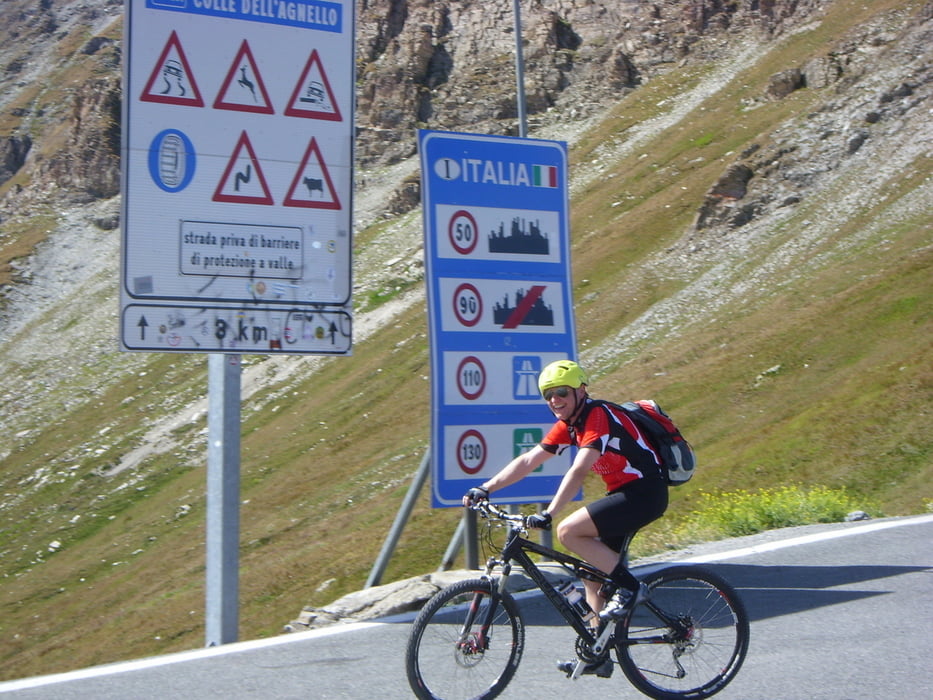
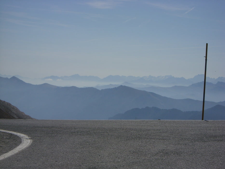
Von Abries 1550m geht es auf gut ausgebauter Teerstraße bis Ville-Vieille 1380m, dort links abbiegend auf die D5 bis Molines-En-Queyras 1756m und weiter auf der D205 durch das lange Tal zum mit zahlreichen Kehren auf gut zu fahrender Straße zum Col d`Angel 2746m. Großartige Ausblicke zu Mont Viso und die umliegenden Berge. Sehr schöne und schnelle Abfahrt wieder über zahlreiche Kehren besonders im oberen Bereich über Pontechianale 1615m nach Sampeyre 975m. Gute Übernachtung im Hotel Monte Nebin*** mit schönen Zimmern. Durchschnittsgeschwindigkeit~18,2km/h
Further information at
http://www.quaeldich.de/paesse/col-d-agnel/Galeria trasy


Mapa trasy i profil wysokości
Minimum height 986 m
Maximum height 2741 m
More about the tour author
|
|
Sport2008 |
Komentarze

siehe 1. Tag Westalpen-2009
GPS tracks
Trackpoints-
GPX / Garmin Map Source (gpx) download
-
TCX / Garmin Training Center® (tcx) download
-
CRS / Garmin Training Center® (crs) download
-
Google Earth (kml) download
-
G7ToWin (g7t) download
-
TTQV (trk) download
-
Overlay (ovl) download
-
Fugawi (txt) download
-
Kompass (DAV) Track (tk) download
-
Karta trasy (pdf) download
-
Original file of the author (gpx) download
More about the tour author
|
|
Sport2008 |
Add to my favorites
Remove from my favorites
Edit tags
Open track
My score
Rate