Galeria trasy
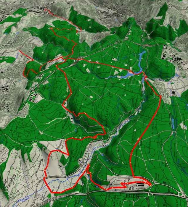
Mapa trasy i profil wysokości
Minimum height 263 m
Maximum height 519 m
Komentarze
GPS tracks
Trackpoints-
GPX / Garmin Map Source (gpx) download
-
TCX / Garmin Training Center® (tcx) download
-
CRS / Garmin Training Center® (crs) download
-
Google Earth (kml) download
-
G7ToWin (g7t) download
-
TTQV (trk) download
-
Overlay (ovl) download
-
Fugawi (txt) download
-
Kompass (DAV) Track (tk) download
-
Karta trasy (pdf) download
-
Original file of the author (gpx) download
Add to my favorites
Remove from my favorites
Edit tags
Open track
My score
Rate


schöne Strecke aber...
Schöne Strecke vom Bärensee nach Büsnau. Hier wird ja scheinbar auch gerade der Radweg ausgebaut.
Danke für die Strecke
Deponie
rechts vom Tor kann man das Fahrrad zwischendurchheben.