


Nachdem wir im Frühjahr die Tour 13 aus dem Buch 'Wandern Ligurien' Dumont aktiv-Verlag schon mal von der Grotte in Tiarona (Tour # 33304) aus versucht haben und dann aus Zeitmangel abrechen mußten haben wir jetzt im Herbst den schon erwanderten Teil ausgelassen und sing von Boissano aus in die Wanderung eingestiegen.
Wir haben 7,5 Stunden für die Wanderung gebraucht - gemäßigtes Tempo und 4-5 kurze Pausen.
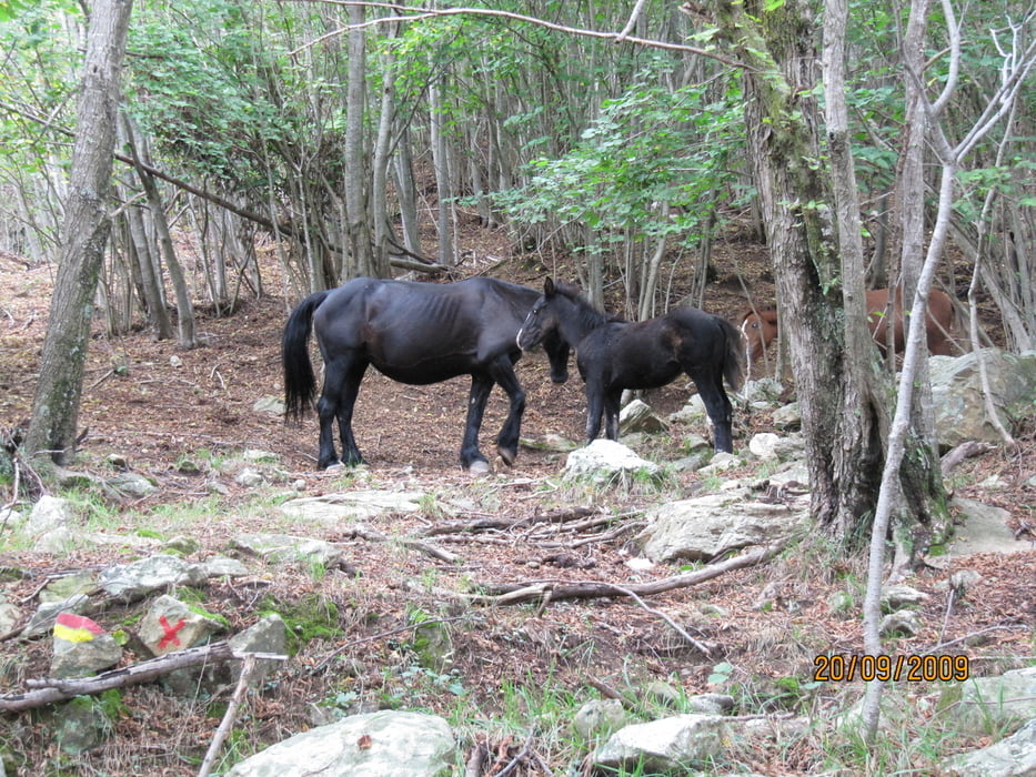
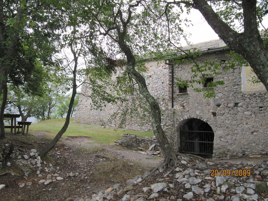
Trotz leichtem Regen am Nachmittag war es eine schöne Wanderung, die wir empfehlen können.
Galeria trasy


Mapa trasy i profil wysokości
Minimum height 80 m
Maximum height 1024 m
More about the tour author
|
|
Genoveva |
Komentarze

öffentlicher Parkplatz in Boissano unterhalb der Kirche
GPS tracks
Trackpoints-
GPX / Garmin Map Source (gpx) download
-
TCX / Garmin Training Center® (tcx) download
-
CRS / Garmin Training Center® (crs) download
-
Google Earth (kml) download
-
G7ToWin (g7t) download
-
TTQV (trk) download
-
Overlay (ovl) download
-
Fugawi (txt) download
-
Kompass (DAV) Track (tk) download
-
Karta trasy (pdf) download
-
Original file of the author (gpx) download
More about the tour author
|
|
Genoveva |
Add to my favorites
Remove from my favorites
Edit tags
Open track
My score
Rate