Hinweis: Der am 20.09.2009 gefahrene Track ist fehlerkorrigiert.
Zus. Daten: AVS = 20,0 km/h - max. Spd. = 60,4 km/h - Pausenzeit 02:30 h
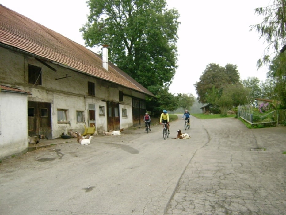
Wetter: Start bei 15°C Ende bei 20°C, nebelig nach nächtlichem Regen, in Kisslegg leichter Nieselregen, gegen Abend zu zeigt sich sogar die Sonne - eine fröhliche Runde mit Fone, Tone und Seppi!
376-21-21072018
Further information at
http://www.schenie.deGaleria trasy
Mapa trasy i profil wysokości
Minimum height 538 m
Maximum height 884 m
Komentarze

Start und Ende in Lautrach.
Aus meinem Tagebuch:
Sehenswert:
Einkehrmöglichkeit:
Schlußworte:
Radtechnik: TREK8000
GPS: Garmin Etrex Vista HCX
376-21-21072018
GPS tracks
Trackpoints-
GPX / Garmin Map Source (gpx) download
-
TCX / Garmin Training Center® (tcx) download
-
CRS / Garmin Training Center® (crs) download
-
Google Earth (kml) download
-
G7ToWin (g7t) download
-
TTQV (trk) download
-
Overlay (ovl) download
-
Fugawi (txt) download
-
Kompass (DAV) Track (tk) download
-
Karta trasy (pdf) download
-
Original file of the author (gpx) download
Add to my favorites
Remove from my favorites
Edit tags
Open track
My score
Rate


