Login

Zapomniałeś swój login?

Cookies have to be accepted!
Your browser's cookie functionality is disabled. Please enable this functionality.

Not a member yet?

Register now
Login

Available for registred users only

Log in to use this feature.

Zapomniałeś swój login?

Cookies have to be accepted!
Your browser's cookie functionality is disabled. Please enable this functionality.

Not a member yet?

Register now
Filter
Kategorie
Advanced filters
  • Długość (km)
  • Wysokość
Zapisz filtr Reset filter

TrackRank

QRCode

Technical data

Długość88,6 km Wysokość824 m Way down832 m Czas trwania04:36 h:m Data21.09.2009
Oceny Author Krajobraz Czynnik zadowolenia Kondycja Technika

Statystyka

1154 Widoki 1 Ocena 414 Downloads / Pliki do pobrania 4.00 Przeciętnie
Rate
  • Karta trasy
  • Dojazd
  • Downloads / Pliki do pobrania

Sehr schöner Rundkurs auf gefestigten Wald- und Wiesenwegen bzw. asphaltierten Abschnitten. Leider nur an wenigen Stellen direkten Sichtkontakt zur Müritz, diese dafür aber wirklich toll!

Für die gesamte Runde sollte man sicherlich etwas Kondition mitbringen, dann ist diese problemlos zu meistern und der Spaß kommt dann auch nicht zu kurz.
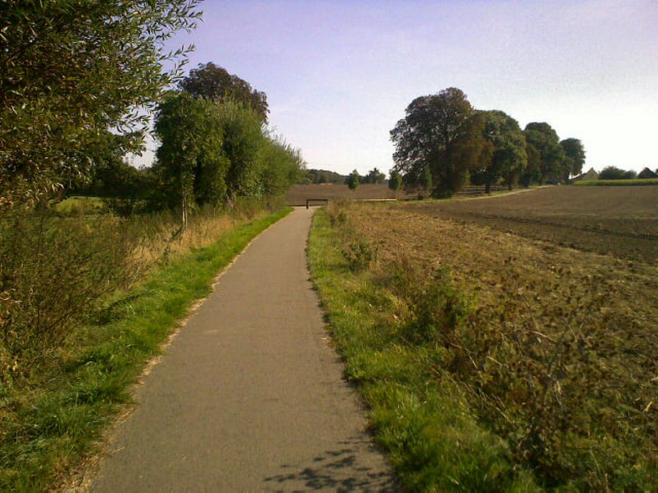
Galeria trasy

Mapa trasy i profil wysokości

  • Open Street Map
  • Google
Minimum height 76 m Maximum height 137 m Widok szczegółowy

More about the tour author

crohling
Member since 2009

Send private message

Komentarze

W-C on 04.07.2010

Kommentar

Wir sind die Tour am 17.6. 2010 bei herrlichem Wetter abgefahren. Landschaftlich und die Wegbeschaffenheit hat uns super gefallen. Gruß W-C
Von der A19 kommend ist sicherlich als Startpunkt Sietow Dorf ideal geeignet, da Parkplatz für die Radfahrer vorhanden und seeidyllisches Flair über dem ort liegt.

GPS tracks

Trackpoints
  • GPX / Garmin Map Source (gpx) download
  • TCX / Garmin Training Center® (tcx) download
  • CRS / Garmin Training Center® (crs) download
  • Google Earth (kml) download
  • G7ToWin (g7t) download
  • TTQV (trk) download
  • Overlay (ovl) download
  • Fugawi (txt) download
  • Kompass (DAV) Track (tk) download
  • Karta trasy (pdf) download
  • Original file of the author (gpx) download

More about the tour author

crohling
Member since 2009

Send private message
Share track
Add to my favorites
Remove from my favorites
Edit tags
My score
Rate
Trasa: Rundfahrt Müritz
Rodzaj: Trasy rowerowe
Długość: 88,6 km
Evaluated on:
Czas trwania:
Day(s)
Hour(s)
Minute(s)
Ocena: Krajobraz Czynnik zadowolenia Kondycja Technika