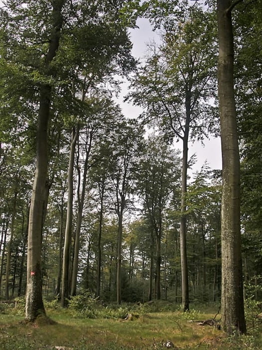
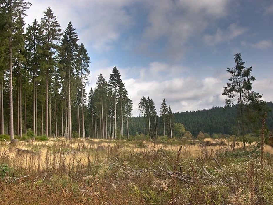
Ein schöner Rundweg um Zinse.
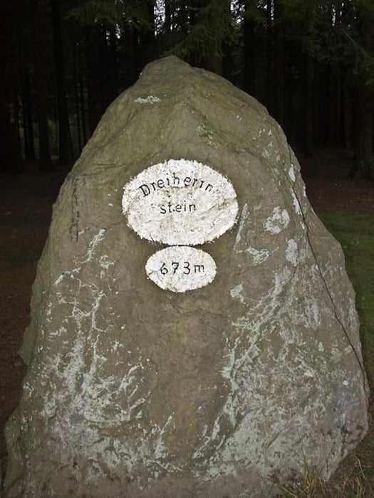
Der Weg verläuft weitestgehend auf gut begehbaren Waldwegen und führt vom Zinsebachtal über einen Teil des Rothaarsteigs zum Dreiherrnstein und über Asphalt durch den Ort Zinse zurück zum Parkplatz.
Unterwegs gibt es mehrere schöne Rastmöglichkeiten.
Galeria trasy
Mapa trasy i profil wysokości
Minimum height 531 m
Maximum height 685 m
Komentarze

Parkplatz & Start bei N 51°00.210 E 008°13.100
GPS tracks
Trackpoints-
GPX / Garmin Map Source (gpx) download
-
TCX / Garmin Training Center® (tcx) download
-
CRS / Garmin Training Center® (crs) download
-
Google Earth (kml) download
-
G7ToWin (g7t) download
-
TTQV (trk) download
-
Overlay (ovl) download
-
Fugawi (txt) download
-
Kompass (DAV) Track (tk) download
-
Karta trasy (pdf) download
-
Original file of the author (gpx) download
Add to my favorites
Remove from my favorites
Edit tags
Open track
My score
Rate


