


Die Strecke führt von Straubing aus auf den ersten Kilometern flach bis nach Bogen. In Bogen angekommen, nimmt man die erste Welle von der Ortsmitte aus und ist kurz darauf schon am Bogenberg. Wer nun möchte, kann von hier einen kurzen Ausblick Richtung Straubing genießen. Weiter geht es über Lohof, Grafenberg bis nach Schwarzach und dann auf den Grandsberg. Oben angekommen, geht es auf Forststraßen / Wirtschaftswegen Richtung Hirschenstein und weiter nach Sankt Englmar. Vom Apart - Hotel aus, führt die Strecke ca. 10km bergab nach Neukirchen und dann weiter auf einer Bahntrasse nach Mitterfels. Von hier aus über Agendorf, Parkstetten wieder Richtung Straubing.
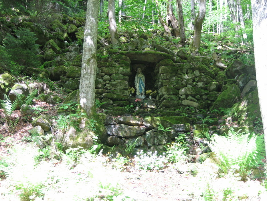
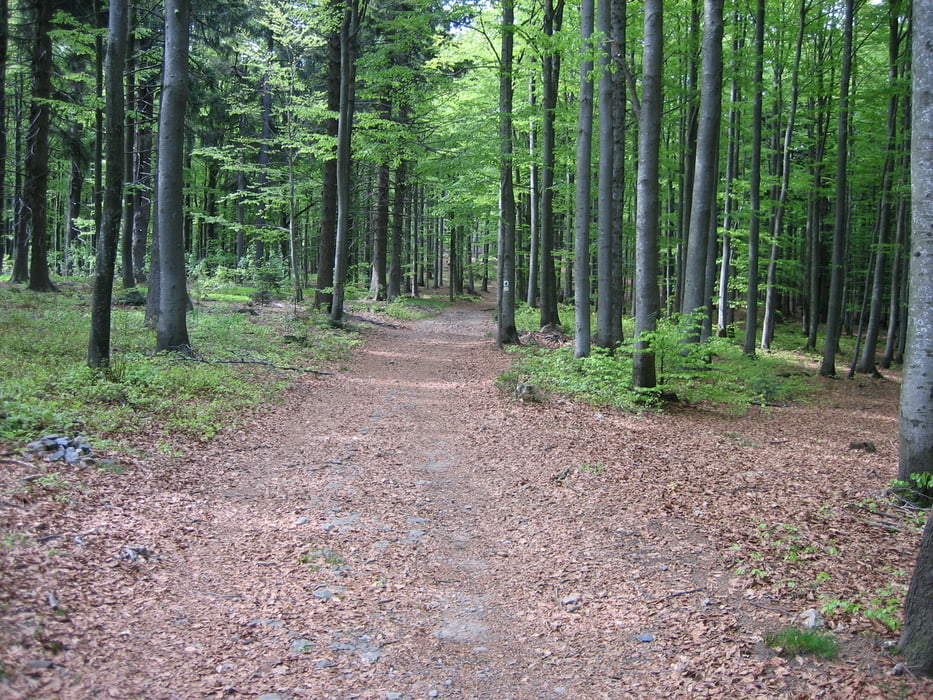
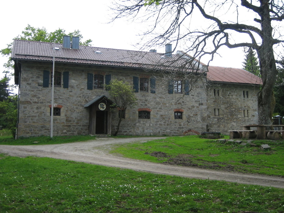
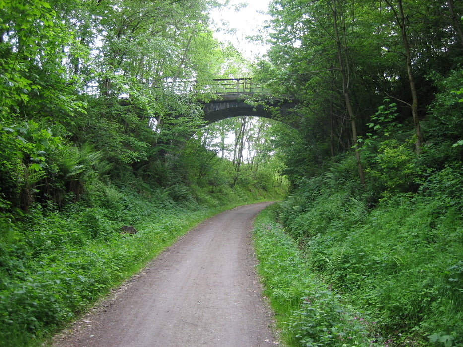
Galeria trasy
Mapa trasy i profil wysokości
Minimum height 317 m
Maximum height 1032 m
More about the tour author
|
|
sito68 |
Komentarze

GPS tracks
Trackpoints-
GPX / Garmin Map Source (gpx) download
-
TCX / Garmin Training Center® (tcx) download
-
CRS / Garmin Training Center® (crs) download
-
Google Earth (kml) download
-
G7ToWin (g7t) download
-
TTQV (trk) download
-
Overlay (ovl) download
-
Fugawi (txt) download
-
Kompass (DAV) Track (tk) download
-
Karta trasy (pdf) download
-
Original file of the author (gpx) download
More about the tour author
|
|
sito68 |
Add to my favorites
Remove from my favorites
Edit tags
Open track
My score
Rate