Login

Zapomniałeś swój login?

Cookies have to be accepted!
Your browser's cookie functionality is disabled. Please enable this functionality.

Not a member yet?

Register now
Login

Available for registred users only

Log in to use this feature.

Zapomniałeś swój login?

Cookies have to be accepted!
Your browser's cookie functionality is disabled. Please enable this functionality.

Not a member yet?

Register now
Filter
Kategorie
Advanced filters
  • Długość (km)
  • Wysokość
Zapisz filtr Reset filter

TrackRank

QRCode

Technical data

Długość67,1 km Wysokość1411 m Way down1401 m Czas trwania05:08 h:m Data25.09.2009
Oceny Author User Krajobraz Czynnik zadowolenia Kondycja Technika

Statystyka

2317 Widoki 1 Ocena 148 Downloads / Pliki do pobrania 4.00 Przeciętnie
Rate
  • Karta trasy
  • Dojazd
  • Downloads / Pliki do pobrania
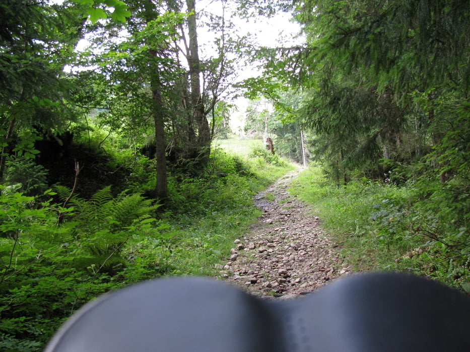
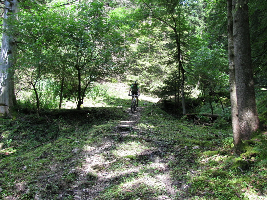
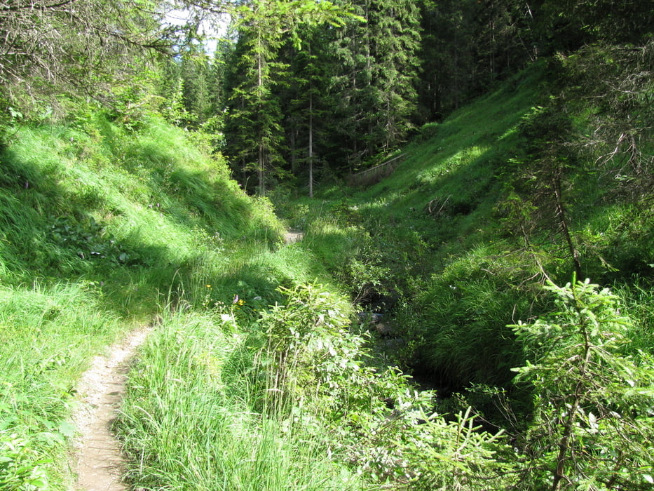
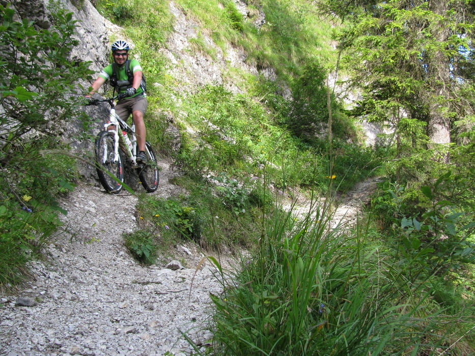
Schöne Rundtour ab Schliersee nach Bayrischzell auf einem Weg nahe der Bahnschienen, dann an der Rodelbahn aufwärts über den Sattel, schöne Trailabfahrt, dann Bundesstraße hoch, kleiner Wiesentrail, zurück über Sudelfeldsattel nach Bayrischzell. Von dort über Kloaschertal und Elendsattel nach Spitzing, dort Trailabfahrt bis Schliersee und wieder in den Bob ;o)

Galeria trasy

Mapa trasy i profil wysokości

  • Open Street Map
  • Google
Minimum height 744 m Maximum height 1165 m Widok szczegółowy

More about the tour author

moencki
Member since 2009

Send private message

Komentarze

MikeonHike on 31.05.2012

Tour gefahren

durchweg empfehlenswerte Tour - landschaftlich top, wahlweise kann man schöne Trails fahren - Abzweig in den Pfanngraben nach dem Elendsattel.

GPS tracks

Trackpoints
  • GPX / Garmin Map Source (gpx) download
  • TCX / Garmin Training Center® (tcx) download
  • CRS / Garmin Training Center® (crs) download
  • Google Earth (kml) download
  • G7ToWin (g7t) download
  • TTQV (trk) download
  • Overlay (ovl) download
  • Fugawi (txt) download
  • Kompass (DAV) Track (tk) download
  • Karta trasy (pdf) download
  • Original file of the author (gpx) download

More about the tour author

moencki
Member since 2009

Send private message
Share track
Add to my favorites
Remove from my favorites
Edit tags
My score
Rate
Trasa: Rundtour - Sudelfeld - Elendsattel- Spitzing -Schliersee
Rodzaj: Rower górski (MTB)
Długość: 67,1 km
Evaluated on:
Czas trwania:
Day(s)
Hour(s)
Minute(s)
Ocena: Krajobraz Czynnik zadowolenia Kondycja Technika