


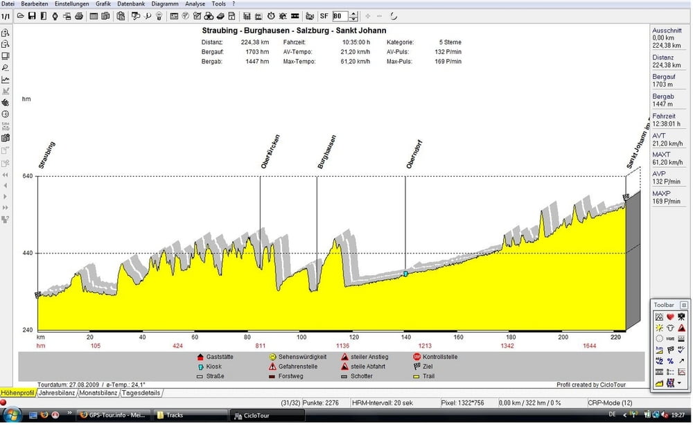
Straubing Sankt Johann im Pongau
Die Strecke führt grob gesagt über Aiterhofen - Oberschneiding - Pilsting - Landau an der Isar - Simbach - Malgersdorf - Eggenfelden - Obertürken - Marktl - Burghausen - Tittmoning - Oberndorf - Salzburg - Hallein - Golling - Werfen - Bischofshofen - Sankt Johann.
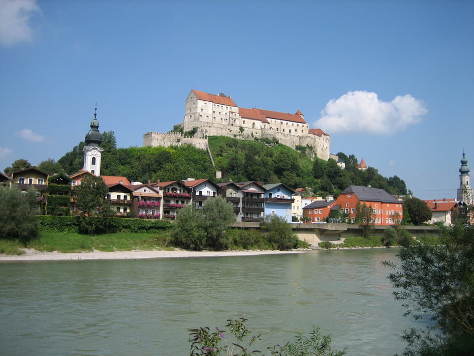
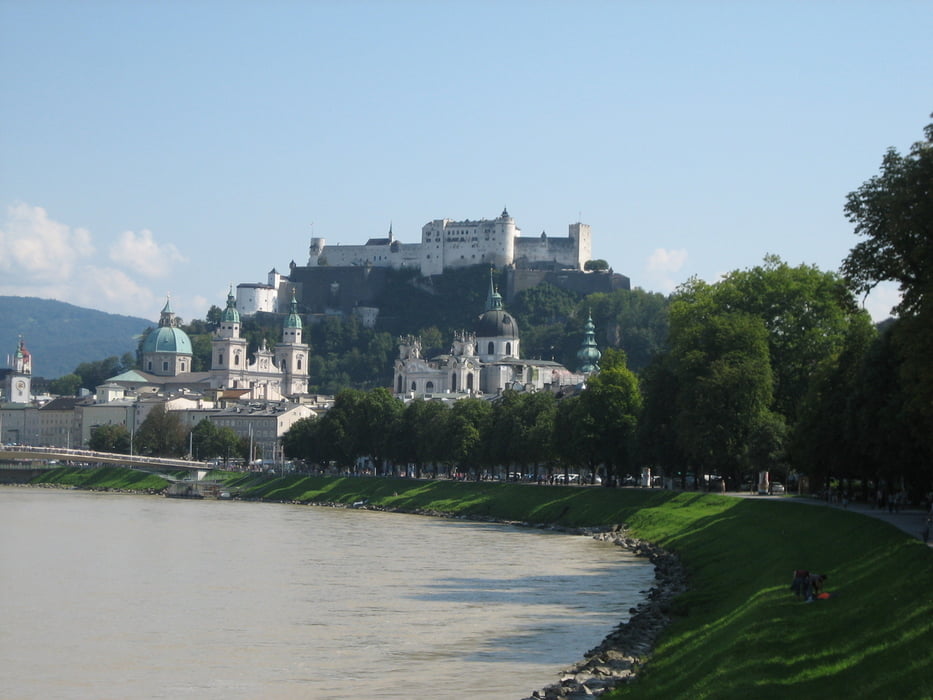
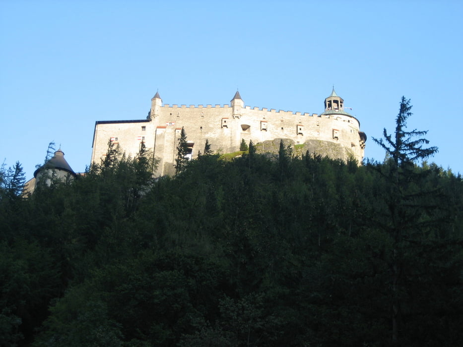
Die aufgezeichnete Strecke führt ab Burghausen links der Salzach entlang, was bis Oberndorf nicht unbedingt ein Vergnügen ist.( ein Fully wäre von Vorteil) Ich weiß zwar nicht wie es auf der rechten Seite zu fahren ist, aber langweiliger kann es dort auch nicht sein. Beide Strecken treffen sich in Salzburg. Ansonsten ist die Strecke gut zu fahren, man kommt an 3 Burgen vorbei, fährt in Salzburg über die Promenade und kurz vor Schluss über den Pass Lueg.
Galeria trasy
Mapa trasy i profil wysokości
Minimum height 287 m
Maximum height 589 m
More about the tour author
|
|
sito68 |
Komentarze

GPS tracks
Trackpoints-
GPX / Garmin Map Source (gpx) download
-
TCX / Garmin Training Center® (tcx) download
-
CRS / Garmin Training Center® (crs) download
-
Google Earth (kml) download
-
G7ToWin (g7t) download
-
TTQV (trk) download
-
Overlay (ovl) download
-
Fugawi (txt) download
-
Kompass (DAV) Track (tk) download
-
Karta trasy (pdf) download
-
Original file of the author (gpx) download
More about the tour author
|
|
sito68 |
Add to my favorites
Remove from my favorites
Edit tags
Open track
My score
Rate