


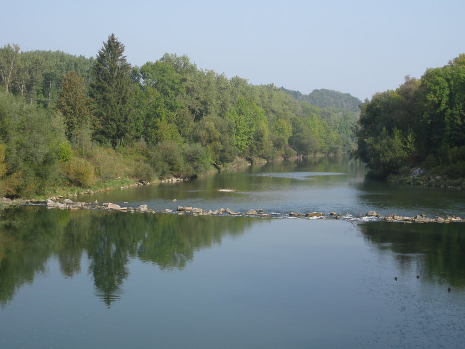
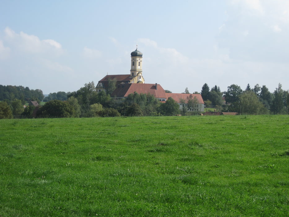
Die Tour beginnt am Bahnhof in Ulm, man fährt dann über den Busbahnhof bis zur Donau. Die Strecke führt dann ein kurzes Stück an der Donau entlang in Richtung Ehingen, dann fährt man links über die Donaubrücke. Nun ist der Iller-Radweg erreicht. Die Strecke ist recht gut ausgeschildert. Man sollte ausreichend Vesper mitnehmen, da die Strecke von Ulm bis Bad Grönenbach nur durch wenige Ortschaften führt (dafür ist man meist an der Iller). Ich bin die Strecke in zwei Tagen gefahren, Übernachtung in Bad Grönenbach.
Further information at
http://www.allgaeu-abc.de/Galeria trasy
Mapa trasy i profil wysokości
Minimum height 466 m
Maximum height 825 m
More about the tour author

|
schmiddi38 |
Komentarze

Anreise mit dem Zug bis nach Ulm Hauptbahnhof
GPS tracks
Trackpoints-
GPX / Garmin Map Source (gpx) download
-
TCX / Garmin Training Center® (tcx) download
-
CRS / Garmin Training Center® (crs) download
-
Google Earth (kml) download
-
G7ToWin (g7t) download
-
TTQV (trk) download
-
Overlay (ovl) download
-
Fugawi (txt) download
-
Kompass (DAV) Track (tk) download
-
Karta trasy (pdf) download
-
Original file of the author (gpx) download
More about the tour author
|
|
schmiddi38 |
Add to my favorites
Remove from my favorites
Edit tags
Open track
My score
Rate