Login

Zapomniałeś swój login?

Cookies have to be accepted!
Your browser's cookie functionality is disabled. Please enable this functionality.

Not a member yet?

Register now
Login

Available for registred users only

Log in to use this feature.

Zapomniałeś swój login?

Cookies have to be accepted!
Your browser's cookie functionality is disabled. Please enable this functionality.

Not a member yet?

Register now
Filter
Kategorie
Advanced filters
  • Długość (km)
  • Wysokość
Zapisz filtr Reset filter

TrackRank

QRCode

Technical data

Długość26,1 km Wysokość1138 m Way down1105 m Czas trwania03:50 h:m Data27.09.2009
Oceny Author User Krajobraz Czynnik zadowolenia Kondycja Technika

Statystyka

1109 Widoki 3 Oceny 358 Downloads / Pliki do pobrania 3.33 Przeciętnie
Rate
  • Karta trasy
  • Dojazd
  • Downloads / Pliki do pobrania
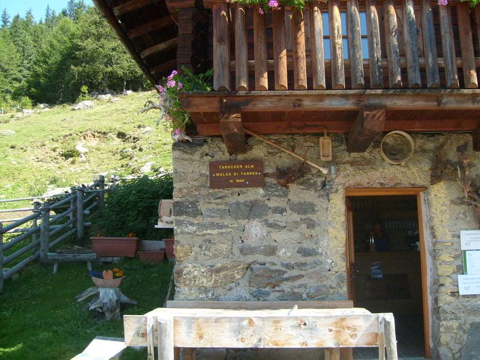
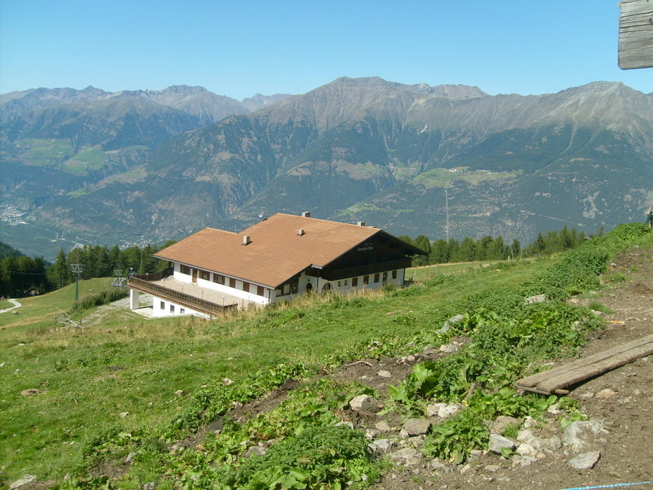
Erst geht etwas läner bergauf zur Latscher Alm und wer dann noch Lust hat etwas rauf zur Tarscher Alm. Auf jeden Fall sehr schöne Tour mit super Landschaft!

Galeria trasy

Mapa trasy i profil wysokości

  • Open Street Map
  • Google
Minimum height 682 m Maximum height 1721 m Widok szczegółowy

More about the tour author

bluebaker
Member since 2008

Send private message

Komentarze

daskandalboy on 04.09.2011

Schöne Runde

Wir sind die Tour gefahren, haben uns jedoch nach der Latscher Alm z.T. steil bergauf gehalten in Richtung Tarscher Alm (Wegalternative in den lokalen Tourenbeschreibungen). Beim Downhill sind wir bei ca. 1.550 hm wieder auf die hier beschriebe Route gestoßen. Im Gegensatz zu den Latscher Sonnenhang-Trails ist die Tour auch im Sommer bei warmem Wetter gut zu fahren, der Uphill ist überwiegend schattig im Wald, von den Almen und Rastpunkten hat man dennoch eine schöne Aussicht. Bergab gibt es zahlreiche Trail-Alternativen (siehe lokale Bike-Literatur), diese sind jedoch teilweise extrem schwer und erfordern ein gehöriges Maß an Fahrtechnik (und gutes Equipment).

GPS tracks

Trackpoints
  • GPX / Garmin Map Source (gpx) download
  • TCX / Garmin Training Center® (tcx) download
  • CRS / Garmin Training Center® (crs) download
  • Google Earth (kml) download
  • G7ToWin (g7t) download
  • TTQV (trk) download
  • Overlay (ovl) download
  • Fugawi (txt) download
  • Kompass (DAV) Track (tk) download
  • Karta trasy (pdf) download
  • Original file of the author (gpx) download

More about the tour author

bluebaker
Member since 2008

Send private message
Share track
Add to my favorites
Remove from my favorites
Edit tags
My score
Rate
Trasa: Suedtirol_Latscher Alm
Rodzaj: Rower górski (MTB)
Długość: 26,1 km
Evaluated on:
Czas trwania:
Day(s)
Hour(s)
Minute(s)
Ocena: Krajobraz Czynnik zadowolenia Kondycja Technika