

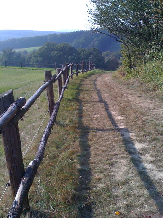
The tour is situated around the Parapluie Strecke in Wienerwald. I wanted to ride off the beaten track, away from "Schotterautobahne" and found several nice trails. The track is also good to ride on sunny Sundays, as it avoids the crowdy places.
When you ride the track around 20% is the official Parapluie Strecke. I tried to include maximum small trails, but this means that most of it is "illegal biking" It is your decision to ride those Forststrassen.
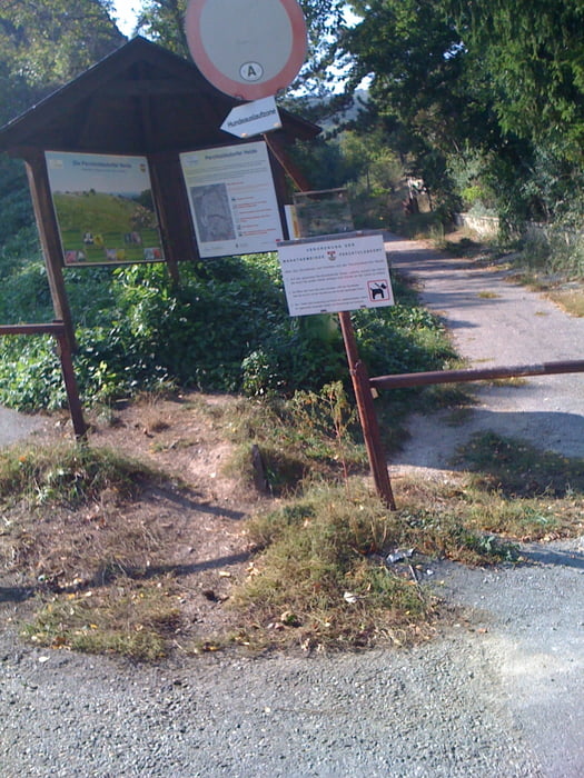
Try to include the start and finish at the Wittgensteinstrasse in 13. Bezirk as it will give you maximum small narrow and windy tracks.
Several forest trails are rather steep both up and downhill...... I do not recommend this to Einsteiger . It is also not suitable for families..... , and that is good!
Personally I like the fantastic trail in the direction of the Kaltenleutgeben leading to the Waldanlage Kaltenleutgeben, it is long windy and narrow. A discovery is also the steep and narrow trail close to Doktorsberg (be careful there is a tree blocking the ride, you will have to get off your bike!) This trail is ending on the Karlsgasse (Schotterweg) at the foot of Doktersberg.
Have fun!
Galeria trasy

Mapa trasy i profil wysokości
Minimum height 260 m
Maximum height 613 m
More about the tour author

|
zwartr |
Komentarze
Wittgensteinstrasse 13. Bezirk Wien
GPS tracks
Trackpoints-
GPX / Garmin Map Source (gpx) download
-
TCX / Garmin Training Center® (tcx) download
-
CRS / Garmin Training Center® (crs) download
-
Google Earth (kml) download
-
G7ToWin (g7t) download
-
TTQV (trk) download
-
Overlay (ovl) download
-
Fugawi (txt) download
-
Kompass (DAV) Track (tk) download
-
Karta trasy (pdf) download
-
Original file of the author (gpx) download
More about the tour author
|
|
zwartr |
Add to my favorites
Remove from my favorites
Edit tags
Open track
My score
Rate
Ein echter Leckerbissen
Immer wieder Überraschungen wie herrliche Ausblicke nach einem Waldstück, versteckte Wege usw.
Vielen Dank!