Login

Zapomniałeś swój login?

Cookies have to be accepted!
Your browser's cookie functionality is disabled. Please enable this functionality.

Not a member yet?

Register now
Login

Available for registred users only

Log in to use this feature.

Zapomniałeś swój login?

Cookies have to be accepted!
Your browser's cookie functionality is disabled. Please enable this functionality.

Not a member yet?

Register now
Filter
Kategorie
Advanced filters
  • Długość (km)
  • Wysokość
Zapisz filtr Reset filter

TrackRank

QRCode

Technical data

Długość27,5 km Wysokość706 m Way down697 m Czas trwania04:00 h:m Data04.08.2006
Oceny Author Krajobraz Czynnik zadowolenia Kondycja Technika

Statystyka

397 Widoki Oceny 41 Downloads / Pliki do pobrania Przeciętnie
Rate
  • Karta trasy
  • Dojazd
  • Downloads / Pliki do pobrania
Von Moravka aus den gelben Wanderweg steil bergauf. Dann rechts ab einen schönen Forstweg auf der Höhe bis zur Asphaltstrecke ins Tal. Hier links weiter dem Flusslauf folgend Richtung Chata Slavic. Oben lädt die Berghütte Slavic zur Rast ein. Von der Hütte aus Richtung Wanderkarte immer weiter auf der folgenden Asphaltstaße den Berg herunter (mit kleinen Anstiegen natürlich). Unten an der Hauptstaße links richtung Stausee - Moravka zurück.
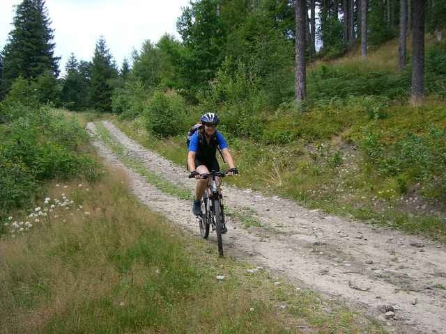
Galeria trasy

Mapa trasy i profil wysokości

  • Open Street Map
  • Google
Minimum height 449 m Maximum height 929 m Widok szczegółowy

More about the tour author

slotrace
Member since 2005

Send private message

Komentarze

GPS tracks

Trackpoints
  • GPX / Garmin Map Source (gpx) download
  • TCX / Garmin Training Center® (tcx) download
  • CRS / Garmin Training Center® (crs) download
  • Google Earth (kml) download
  • G7ToWin (g7t) download
  • TTQV (trk) download
  • Overlay (ovl) download
  • Fugawi (txt) download
  • Kompass (DAV) Track (tk) download
  • Karta trasy (pdf) download
  • Original file of the author (gpx) download

More about the tour author

slotrace
Member since 2005

Send private message
Share track
Add to my favorites
Remove from my favorites
Edit tags
My score
Rate
Trasa: Moravka - Medvedi Potok - Slavic - Moravka
Rodzaj: Rower górski (MTB)
Długość: 27,5 km
Evaluated on:
Czas trwania:
Day(s)
Hour(s)
Minute(s)
Ocena: Krajobraz Czynnik zadowolenia Kondycja Technika