


Die ersten gut 500 hm geht es auf Asphalt und später auf Schotter bergauf. Danach arbeitet man sich auf immer gutem Untergrund in ständigem Auf- und Ab bis zum höchsten Punkt der Tour vor.
Anschliessend geht es, unterbrochen von einem kurzen Single-Trail, bergab in Richtung Hopfgarten. Über Itter gelangt man wieder nach Söll. Nach dem Single-Trail verläuft die Route grösstenteils auf Asphalt.
Rast:
Auf der Tour gibt es diverse Almen und Gasthöfe.
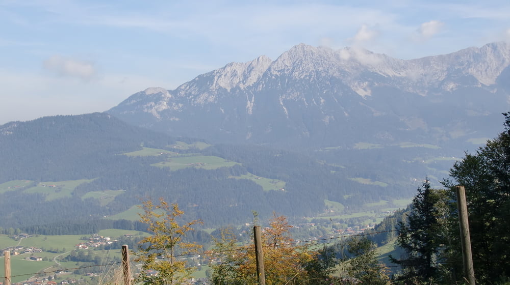
Galeria trasy

Mapa trasy i profil wysokości
Minimum height 575 m
Maximum height 1249 m
More about the tour author

|
mfa69 |
Komentarze

Von München kommend über die A8 Richtung Salzburg bis zum Inntal-Dreieck. Dort abfahren in Richtung Kufstein bis zur Ausfahrt Wörgl-Ost der A12. Von dort in Richtung St.Johann auf der B312 bis Söll. Dort rechts abbiegen bis zu den Parkplätzen bei den Bergbahnen Hochsöl.
GPS tracks
Trackpoints-
GPX / Garmin Map Source (gpx) download
-
TCX / Garmin Training Center® (tcx) download
-
CRS / Garmin Training Center® (crs) download
-
Google Earth (kml) download
-
G7ToWin (g7t) download
-
TTQV (trk) download
-
Overlay (ovl) download
-
Fugawi (txt) download
-
Kompass (DAV) Track (tk) download
-
Karta trasy (pdf) download
-
Original file of the author (gpx) download
More about the tour author
|
|
mfa69 |
Add to my favorites
Remove from my favorites
Edit tags
Open track
My score
Rate