


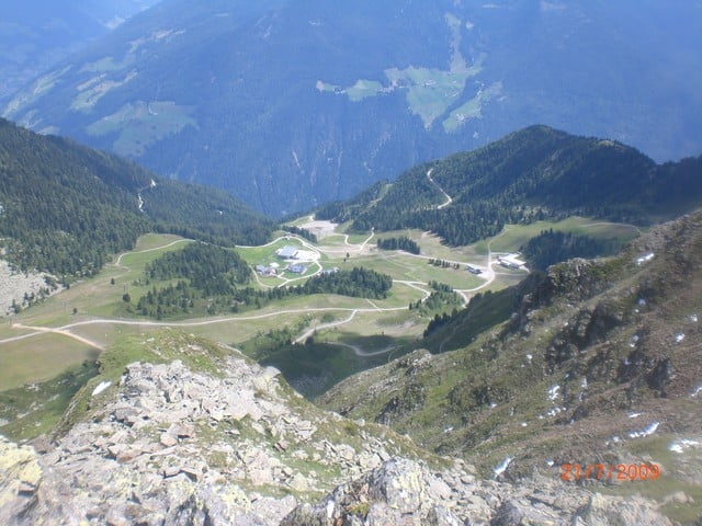
von Ahornach mit dem MtbTour Nr.3 Speikboden nach einen regionalen Mtb Führer, Wanderweg zum Tobelhof, Sand in Taufers, Radweg Luttach, steiler Forstweg zur Speikboden Bergstation 1946m (alles fahrbahr), Trail auf Skipiste zum Bergrestaurant und zurück über Wanderweg an der Burg in Sand in Taufers 900m, Durchschnittsgeschwindikeit~10.4km Übernachtung im Naturhotel Moosmair in Ahornach
Further information at
http://www.ahrntal.com/deGaleria trasy


Mapa trasy i profil wysokości
Minimum height 895 m
Maximum height 1947 m
More about the tour author
|
|
Sport2008 |
Komentarze

Autobahn bis kurz vor Brixen, Pusterlaler Straße bis Bruneck, Eingang Taufner Ahrntal, Sand in Taufers, Ahornach
GPS tracks
Trackpoints-
GPX / Garmin Map Source (gpx) download
-
TCX / Garmin Training Center® (tcx) download
-
CRS / Garmin Training Center® (crs) download
-
Google Earth (kml) download
-
G7ToWin (g7t) download
-
TTQV (trk) download
-
Overlay (ovl) download
-
Fugawi (txt) download
-
Kompass (DAV) Track (tk) download
-
Karta trasy (pdf) download
-
Original file of the author (gpx) download
More about the tour author
|
|
Sport2008 |
Add to my favorites
Remove from my favorites
Edit tags
Open track
My score
Rate