


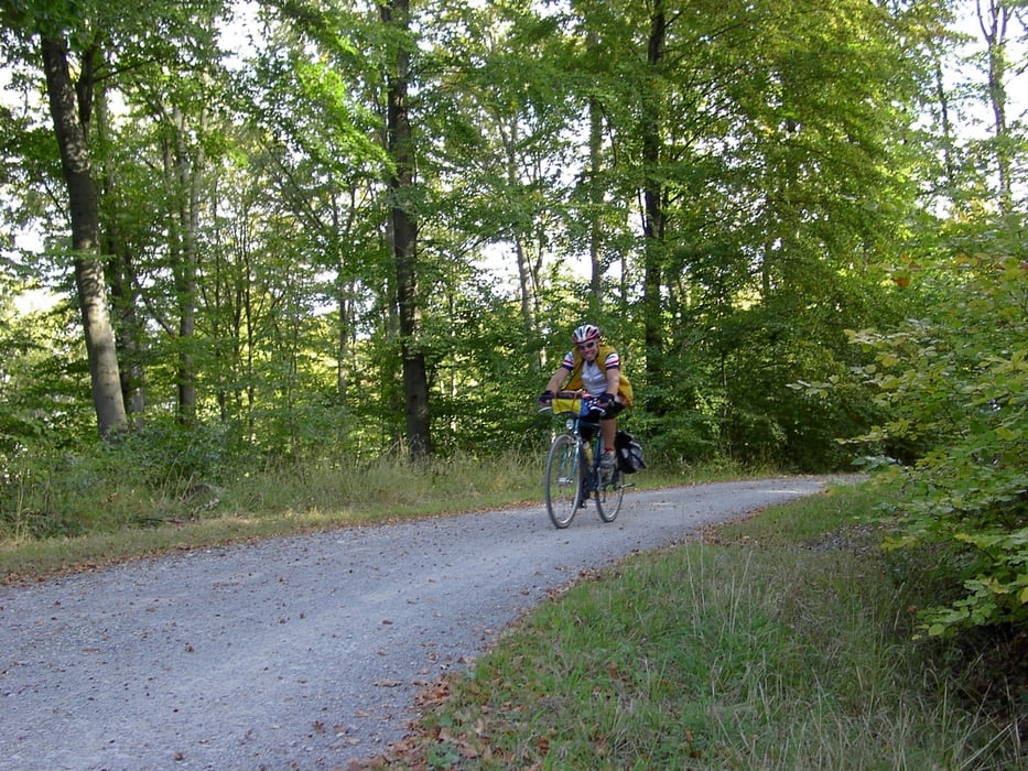
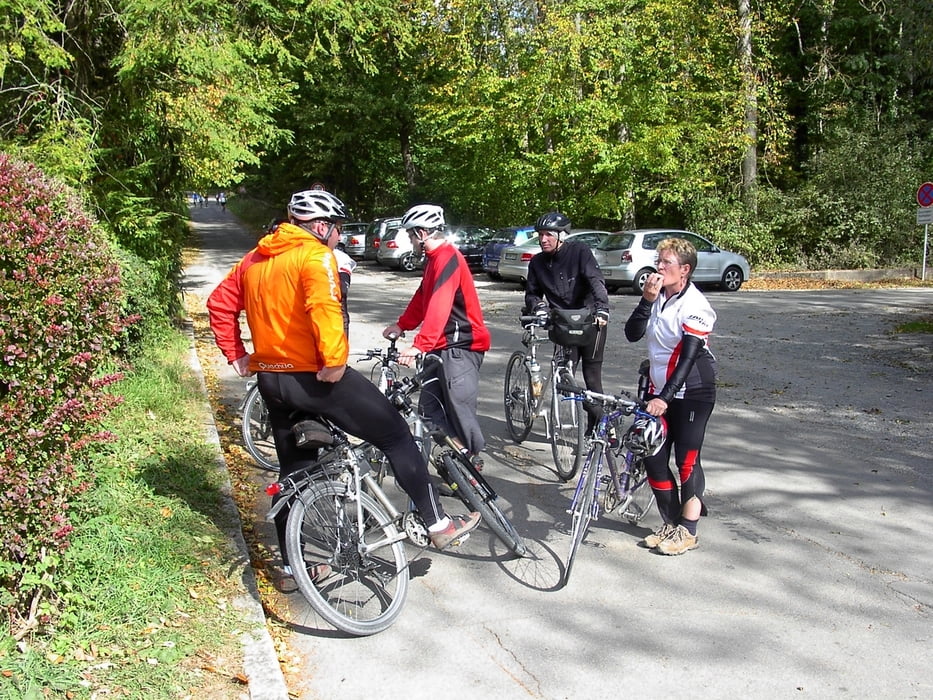
Saisonabschluss Tour TV Stammheim. Dieses Jahr ging es von Stammheim aus über Weilimdorf; Gerlingen,Solitude,Vaihingen,Schönaich ins SIebenmühlental. In der Schlösslesmühle fanden wir eine gute Raststätte zur Stärkung. Nachdem der Akku wieder voll war ging es das Tal weiter bis Musberg dann über Vaihingen in den Wald zurück. Als wir am Bärensee waren ging es bis Stammheim zügig richtung Heimat weiter.
Tour verläuft viel auf Waldwegen. Daher mit Trekkingrad oder MTB zu fahren.
Wenig Verkehr.
Galeria trasy
Mapa trasy i profil wysokości
Minimum height 300 m
Maximum height 522 m
More about the tour author
|
|
danielkeuerleber |
Komentarze

GPS tracks
Trackpoints-
GPX / Garmin Map Source (gpx) download
-
TCX / Garmin Training Center® (tcx) download
-
CRS / Garmin Training Center® (crs) download
-
Google Earth (kml) download
-
G7ToWin (g7t) download
-
TTQV (trk) download
-
Overlay (ovl) download
-
Fugawi (txt) download
-
Kompass (DAV) Track (tk) download
-
Karta trasy (pdf) download
-
Original file of the author (gpx) download
More about the tour author
|
|
danielkeuerleber |
Add to my favorites
Remove from my favorites
Edit tags
Open track
My score
Rate