Login

Zapomniałeś swój login?

Cookies have to be accepted!
Your browser's cookie functionality is disabled. Please enable this functionality.

Not a member yet?

Register now
Login

Available for registred users only

Log in to use this feature.

Zapomniałeś swój login?

Cookies have to be accepted!
Your browser's cookie functionality is disabled. Please enable this functionality.

Not a member yet?

Register now
Filter
Kategorie
Advanced filters
  • Długość (km)
  • Wysokość
Zapisz filtr Reset filter

TrackRank

QRCode

Technical data

Długość26,1 km Wysokość88 m Way down140 m Czas trwania00:00 h:m Data10.10.2009
Oceny Author Krajobraz Czynnik zadowolenia Kondycja Technika

Statystyka

669 Widoki Oceny 174 Downloads / Pliki do pobrania Przeciętnie
Rate
  • Karta trasy
  • Dojazd
  • Downloads / Pliki do pobrania

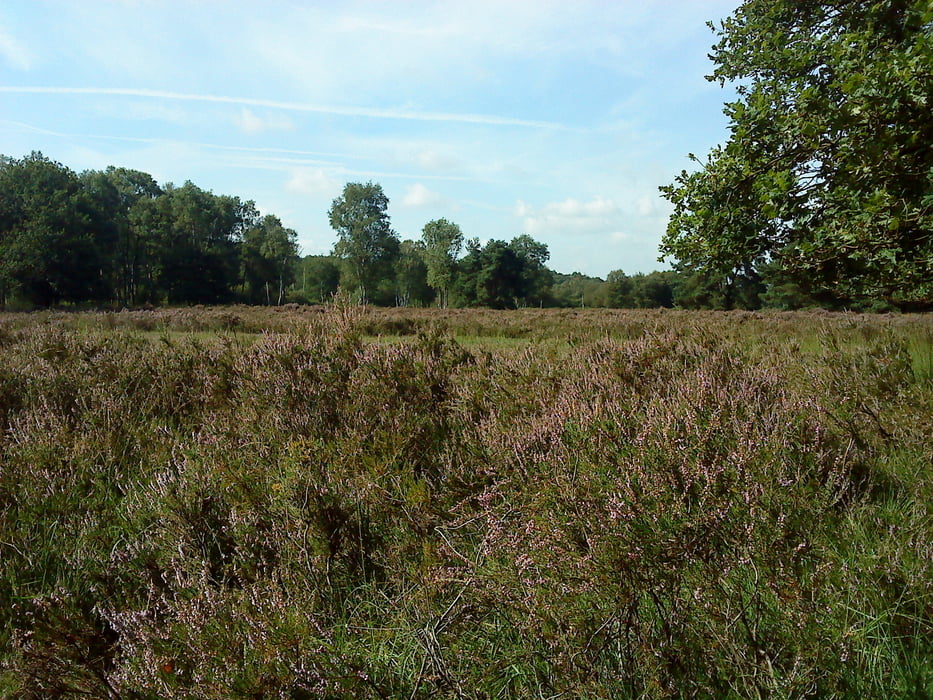
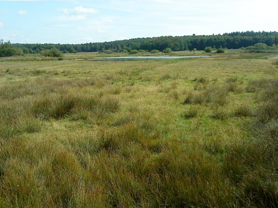
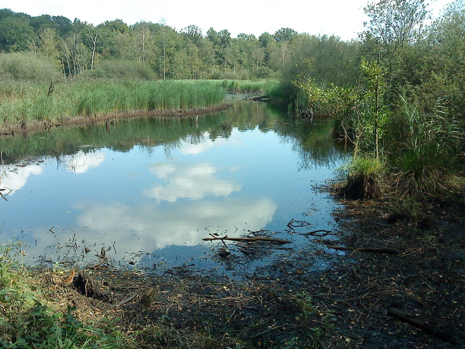
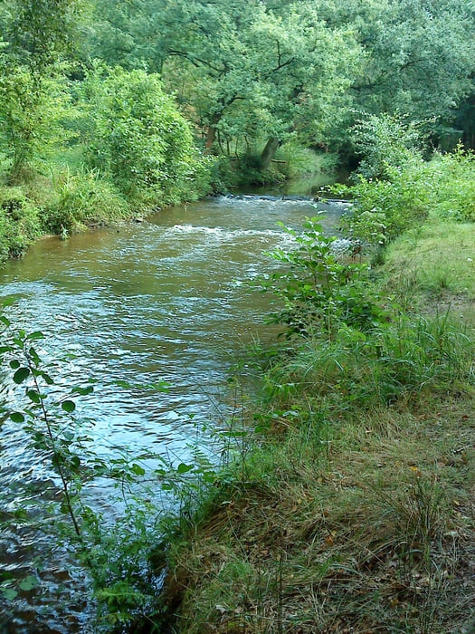
Die Tour führt an der Deutsch - Niederländische Grenze vorbei, viel Natur zu 90 % durch Wald und Heide. Am einfachsten zu fahren ist die Tour wenn man sie links herrum fährt, sonst sind die Steigungen zu stark, für Tourenfahrer. An der neuen Autobahn geht es leider nicht ohne Steigung!

Galeria trasy

Mapa trasy i profil wysokości

  • Open Street Map
  • Google
Minimum height -12 m Maximum height 75 m Widok szczegółowy

More about the tour author

westifeuer
Member since 2009

Send private message

Komentarze

über die A52 Abfahrt Niederkrüchten / Brüggen

weiter  B221 Richtung Brüggen dann L373

GPS tracks

Trackpoints
  • GPX / Garmin Map Source (gpx) download
  • TCX / Garmin Training Center® (tcx) download
  • CRS / Garmin Training Center® (crs) download
  • Google Earth (kml) download
  • G7ToWin (g7t) download
  • TTQV (trk) download
  • Overlay (ovl) download
  • Fugawi (txt) download
  • Kompass (DAV) Track (tk) download
  • Karta trasy (pdf) download
  • Original file of the author (gpx) download

More about the tour author

westifeuer
Member since 2009

Send private message
Share track
Add to my favorites
Remove from my favorites
Edit tags
My score
Rate
Trasa: Heideroute
Rodzaj: Trasy rowerowe
Długość: 26,1 km
Evaluated on:
Czas trwania:
Day(s)
Hour(s)
Minute(s)
Ocena: Krajobraz Czynnik zadowolenia Kondycja Technika