


Vom Spitzingsee startend ist nach ein paar km breiter Asphaltstrasse bergab der erste Teil dieser Strecke links durch einen schmalen Pfad erreichbar über den Todtengraben nur für MTB-Profis bergauf befahrbar. Im August waren Teile des Hanges abgefallen, so dass das Rad getragen werden muss. Wenn man diesen Teil nicht fahren möchte, kann man den breiten Radweg auch geradeaus über die Valepp und dann links Richtung Elendgraben fahren. Danach kommt man auf eine wunderschöne breite Schotterstrecke, die bis nach Bayrischzell führt. Von dort aus geht es weiter teilweise über Straßenradwege zurück zum Spitzingsee.
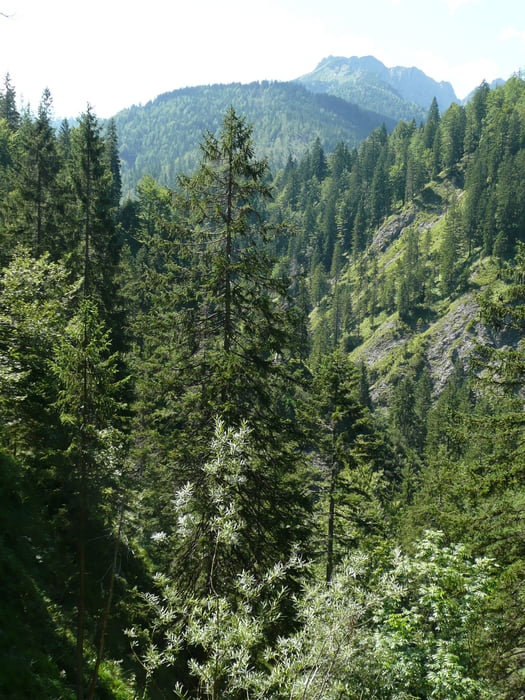
Galeria trasy
Mapa trasy i profil wysokości
Minimum height 746 m
Maximum height 1146 m
More about the tour author

|
tracki |
Komentarze

GPS tracks
Trackpoints-
GPX / Garmin Map Source (gpx) download
-
TCX / Garmin Training Center® (tcx) download
-
CRS / Garmin Training Center® (crs) download
-
Google Earth (kml) download
-
G7ToWin (g7t) download
-
TTQV (trk) download
-
Overlay (ovl) download
-
Fugawi (txt) download
-
Kompass (DAV) Track (tk) download
-
Karta trasy (pdf) download
-
Original file of the author (gpx) download
More about the tour author
|
|
tracki |
Add to my favorites
Remove from my favorites
Edit tags
Open track
My score
Rate