


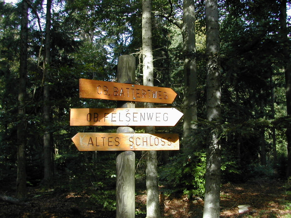
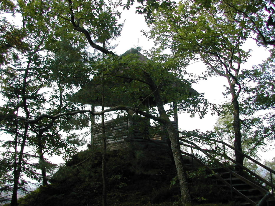
Der Rundweg beginnt man am besten beim Alten Schloß in Baden-Baden. Dieser Weg macht seinem Namen durch die tollen Ausblickpunkte wirklich alle Ehre. Die tollsten Ausblicke Ritterplatte, Felsenbrücke, Bergwachthuette, Altebersteinburg, Lukas Huette, Engelskanzel. Die Wanderung ist nicht besonders lang, man sollte jedoch mindestens 4h einplanen. Der Großteil der Wegstrecke besteht aus Fußpfad.
Galeria trasy
Mapa trasy i profil wysokości
Minimum height 205 m
Maximum height 573 m
More about the tour author

|
tom-bar |
Komentarze
GPS tracks
Trackpoints-
GPX / Garmin Map Source (gpx) download
-
TCX / Garmin Training Center® (tcx) download
-
CRS / Garmin Training Center® (crs) download
-
Google Earth (kml) download
-
G7ToWin (g7t) download
-
TTQV (trk) download
-
Overlay (ovl) download
-
Fugawi (txt) download
-
Kompass (DAV) Track (tk) download
-
Karta trasy (pdf) download
-
Original file of the author (gpx) download
More about the tour author
|
|
tom-bar |
Add to my favorites
Remove from my favorites
Edit tags
Open track
My score
Rate
Premium Weg am 10.04.2011
wir sind heute diesen Weg gelaufen. War sehr schön, wunderbare Aussicht, romatische Felsformation, kurzweiliger Weg. Beschreibung hat sehr gut getroffen.
Vielen Dank für den guten Vorschlag.