Login

Zapomniałeś swój login?

Cookies have to be accepted!
Your browser's cookie functionality is disabled. Please enable this functionality.

Not a member yet?

Register now
Login

Available for registred users only

Log in to use this feature.

Zapomniałeś swój login?

Cookies have to be accepted!
Your browser's cookie functionality is disabled. Please enable this functionality.

Not a member yet?

Register now
Filter
Kategorie
Advanced filters
  • Długość (km)
  • Wysokość
Zapisz filtr Reset filter

TrackRank

QRCode

Technical data

Długość56,6 km Wysokość1117 m Way down1138 m Czas trwania03:25 h:m Data19.10.2009
Oceny Author Krajobraz Czynnik zadowolenia Kondycja Technika

Statystyka

237 Widoki Oceny 10 Downloads / Pliki do pobrania Przeciętnie
Rate
  • Karta trasy
  • Dojazd
  • Downloads / Pliki do pobrania

Tour durchs Windecker Land und zur Nutscheid.

Streckenverlauf bitte der Karte entnehmen. Die Tour verläuft bis auf ein kleines Stück befestigten Waldweg (ca. 2 Km) auf ruhigen, geteerten Nebenstraßen oder Wirtschaftswegen und ist damit für (fast) alle Radtypen geeignet. Nur ein kleiner Anteil führt über die B 256.

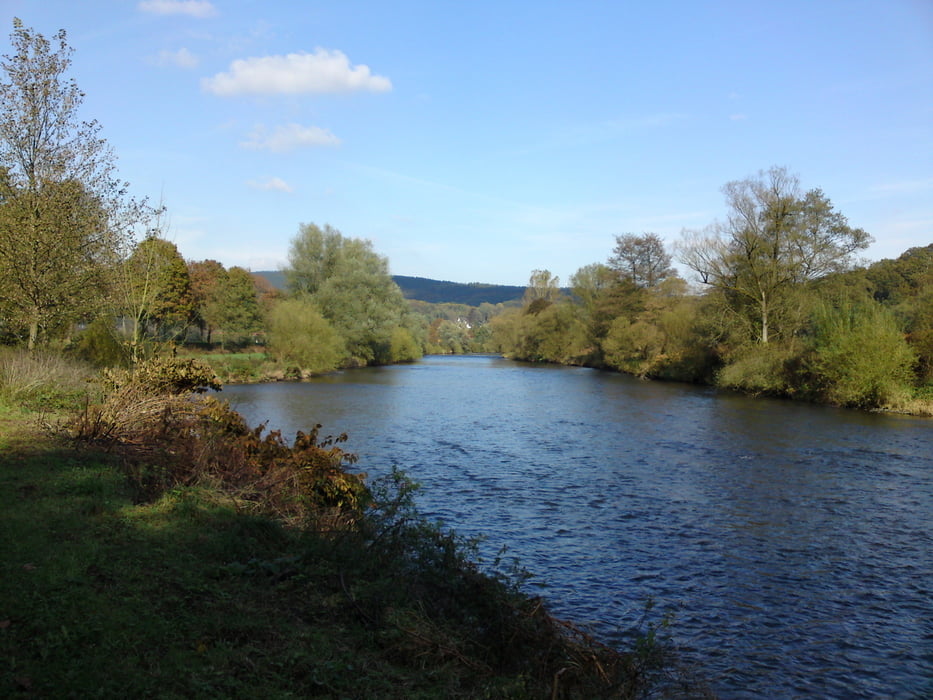
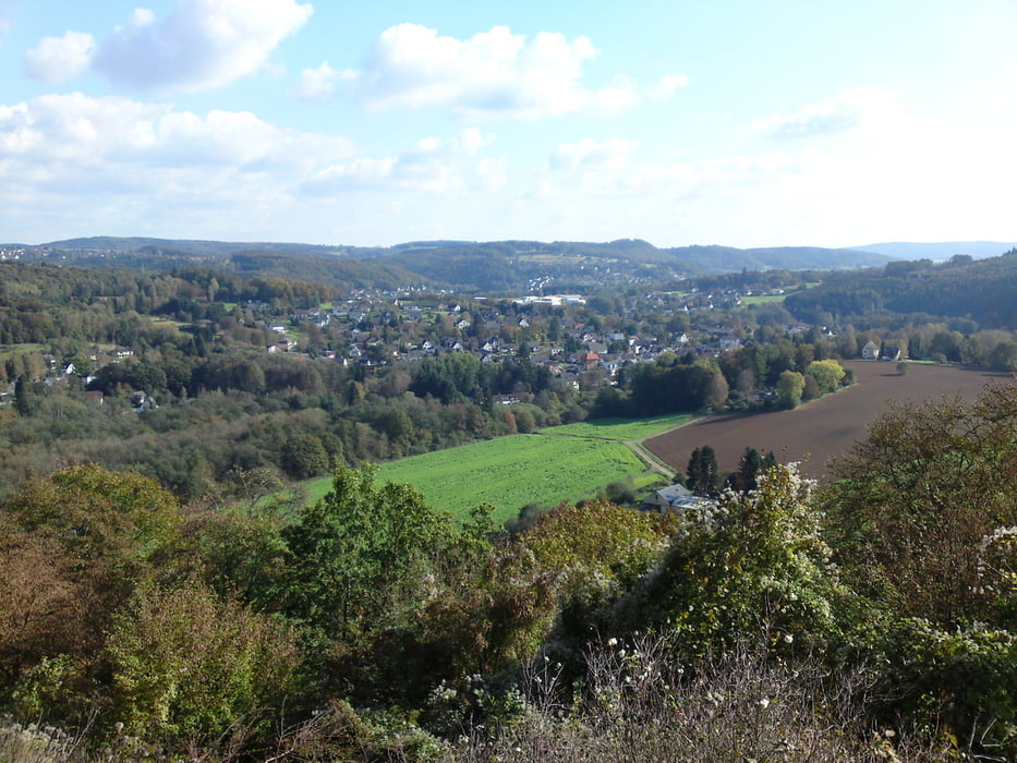
Zum (fast) Abschluß in Schladern ein Schlenker zur Burgruine Windeck mit schöner Aussicht über das Windecker Land.


Further information at

http://www.ammel-online.de

Galeria trasy

Mapa trasy i profil wysokości

  • Open Street Map
  • Google
Minimum height 93 m Maximum height 375 m Widok szczegółowy

More about the tour author

hajorenner
Member since 2004

Send private message

Komentarze

GPS tracks

Trackpoints
  • GPX / Garmin Map Source (gpx) download
  • TCX / Garmin Training Center® (tcx) download
  • CRS / Garmin Training Center® (crs) download
  • Google Earth (kml) download
  • G7ToWin (g7t) download
  • TTQV (trk) download
  • Overlay (ovl) download
  • Fugawi (txt) download
  • Kompass (DAV) Track (tk) download
  • Karta trasy (pdf) download
  • Original file of the author (gpx) download

More about the tour author

hajorenner
Member since 2004

Send private message
Share track
Add to my favorites
Remove from my favorites
Edit tags
My score
Rate
Trasa: Zur Nutscheid und durchs Windecker Land
Rodzaj: Rower trekkingowy
Długość: 56,6 km
Evaluated on:
Czas trwania:
Day(s)
Hour(s)
Minute(s)
Ocena: Krajobraz Czynnik zadowolenia Kondycja Technika