Login

Zapomniałeś swój login?

Cookies have to be accepted!
Your browser's cookie functionality is disabled. Please enable this functionality.

Not a member yet?

Register now
Login

Available for registred users only

Log in to use this feature.

Zapomniałeś swój login?

Cookies have to be accepted!
Your browser's cookie functionality is disabled. Please enable this functionality.

Not a member yet?

Register now
Filter
Kategorie
Advanced filters
  • Długość (km)
  • Wysokość
Zapisz filtr Reset filter

TrackRank

QRCode

Technical data

Długość11,1 km Wysokość566 m Way down594 m Czas trwania04:10 h:m Data26.10.2009
Oceny Author User Krajobraz Czynnik zadowolenia Kondycja Technika

Statystyka

1162 Widoki 1 Ocena 60 Downloads / Pliki do pobrania 4.00 Przeciętnie
Rate
  • Karta trasy
  • Dojazd
  • Downloads / Pliki do pobrania

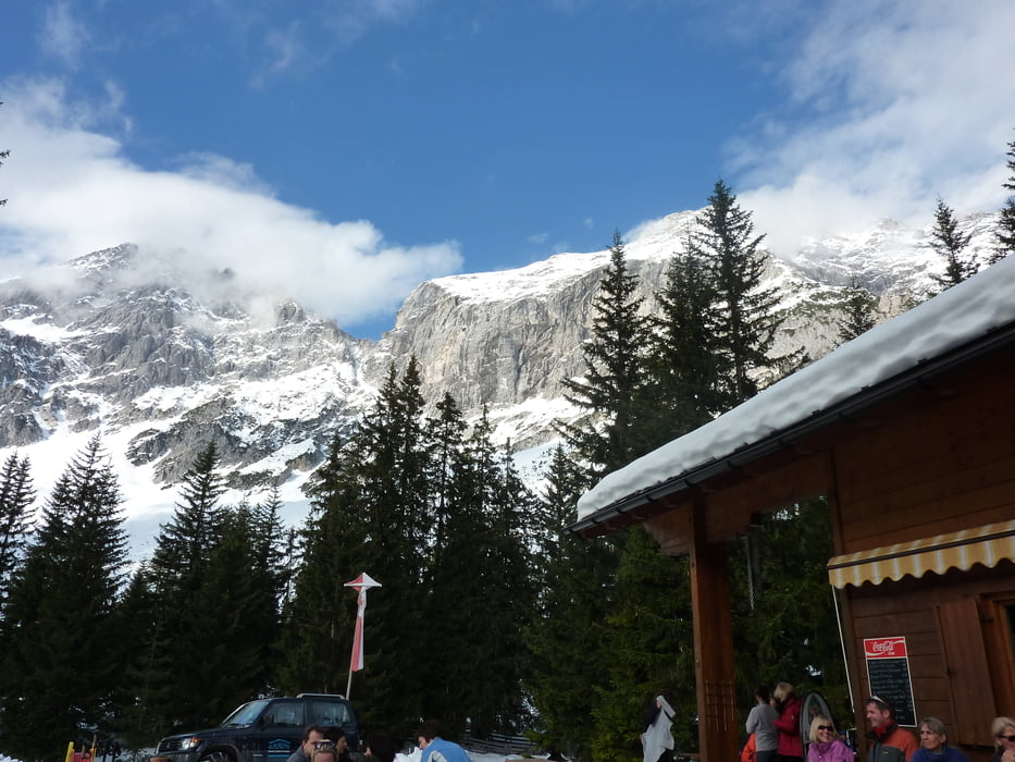
Zuerst schön durch Wald weiter über Wiesen bis zum Strassberghaus, dann wird es zunehmend Steiler aber herrlich am Steig dem Wasser entlang bis zur Neuen Alplhütte.

Gute Speisekarte


Alternativ könnte man auch vom Strassberghaus nach Wildermieming gehen . Da wäre es ideal wenn man 2 Autos hätte ...

Galeria trasy

Mapa trasy i profil wysokości

  • Open Street Map
  • Google
Minimum height 1454 m Maximum height 2064 m Widok szczegółowy

More about the tour author

1zars
Member since 2009

Send private message

Komentarze

Telfs Richtung Lehen immer der Beschilderung folgend und dann oberhalb des Gasthauses Lehen bei der Wasserfassung sind einige Parkplätze kostenlos .

GPS tracks

Trackpoints
  • GPX / Garmin Map Source (gpx) download
  • TCX / Garmin Training Center® (tcx) download
  • CRS / Garmin Training Center® (crs) download
  • Google Earth (kml) download
  • G7ToWin (g7t) download
  • TTQV (trk) download
  • Overlay (ovl) download
  • Fugawi (txt) download
  • Kompass (DAV) Track (tk) download
  • Karta trasy (pdf) download
  • Original file of the author (gpx) download

More about the tour author

1zars
Member since 2009

Send private message
Share track
Add to my favorites
Remove from my favorites
Edit tags
My score
Rate
Trasa: Neue Alplhütte Telfs
Rodzaj: Wędrówki
Długość: 11,1 km
Evaluated on:
Czas trwania:
Day(s)
Hour(s)
Minute(s)
Ocena: Krajobraz Czynnik zadowolenia Kondycja Technika