


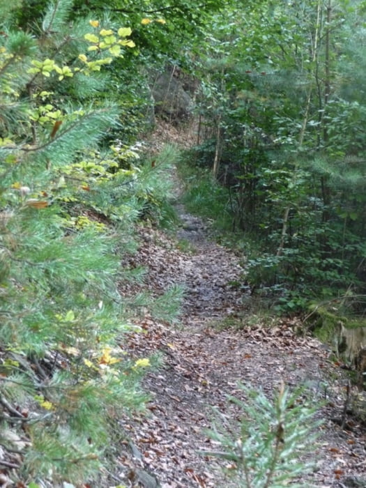
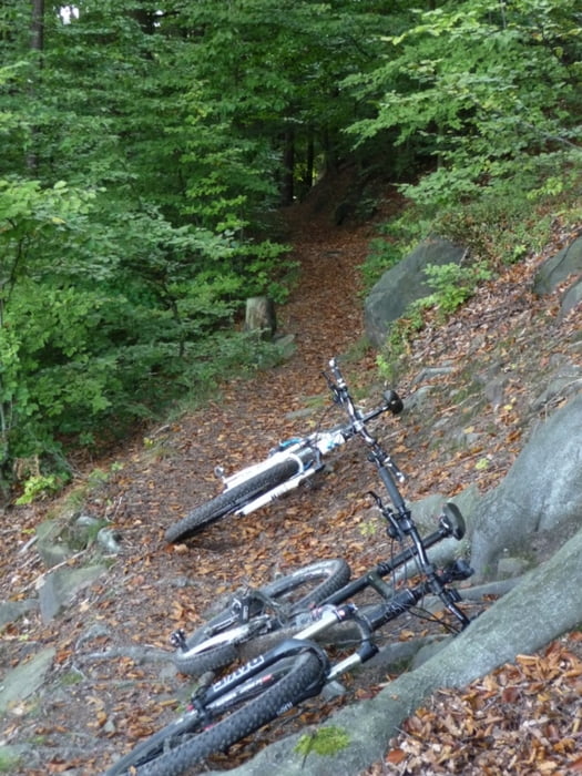
Diese Runde habe ich auf bikemap.net gefunden. Wirklich superschöne MTB Runde mit knackigen Anstiegen, ein paar wenigen Schiebepassagen, sehr wenig Straße und viel fette Trails zum Hohen Schneeberg. Teilweise sehr schweres Gelände (z.B. Abfahrt vom Hohen Schneeberg). Ein Top Leckerbissen sind noch die Singletrails oberhalb des Elberadweges von Decin nach Krippen. Der letzte Teil verläuft aber auf völlig zugewachsenen Wegen, unfahrbar, hier müsste man auf den Radweg ausweichen. Werde mich hier noch mal auf den Weg machen um eine Alternative zu finden. Also folgt da noch mal ein Update.
Further information at
http://www.liethenmuehle.de/Galeria trasy


Mapa trasy i profil wysokości
Minimum height 99999 m
Maximum height -99999 m
More about the tour author
|
|
brozzomd |
Komentarze

Start ist zwischen Krippen und Kleinhennersdorf, an der Einfahrt zur Pension & Waldgasthof "Liethenmühle. Hier die Adresse für Autoanreisende: Liethenhäuser 3,
01824 Gohrisch, OT Kleinhennersdorf.
01824 Gohrisch, OT Kleinhennersdorf.
GPS tracks
Trackpoints-
GPX / Garmin Map Source (gpx) download
-
TCX / Garmin Training Center® (tcx) download
-
CRS / Garmin Training Center® (crs) download
-
Google Earth (kml) download
-
G7ToWin (g7t) download
-
TTQV (trk) download
-
Overlay (ovl) download
-
Fugawi (txt) download
-
Kompass (DAV) Track (tk) download
-
Karta trasy (pdf) download
-
Original file of the author (gpx) download
More about the tour author
|
|
brozzomd |
Add to my favorites
Remove from my favorites
Edit tags
Open track
My score
Rate