


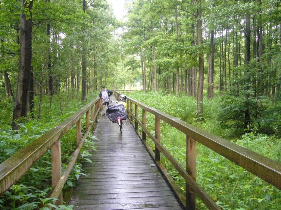
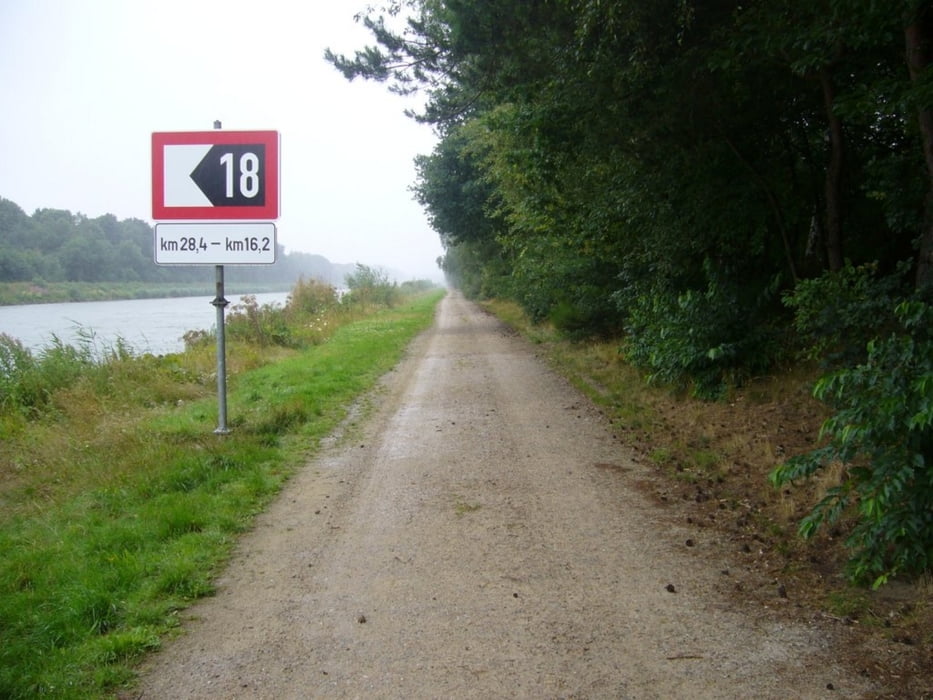
Die Tour führt von der nördlichen Region Bremens um Worpswede durch die Hansestadt über den westlichen Brückenradweg in Richtung Osnabrück. Erwähnenswert ist, dass bei Damme doch einige Höhenmeter zu absolvieren sind. Bei Kalkriese führt die Strecke entlang des Mittellandkanals zum "Nassen Dreieck" nach Bevergern (Nordrhein Westfalen). Der letzte Streckenabschnitt führt entlang des Dortmund-Ems-Kanals vorbei an Rheine ins Emsland.
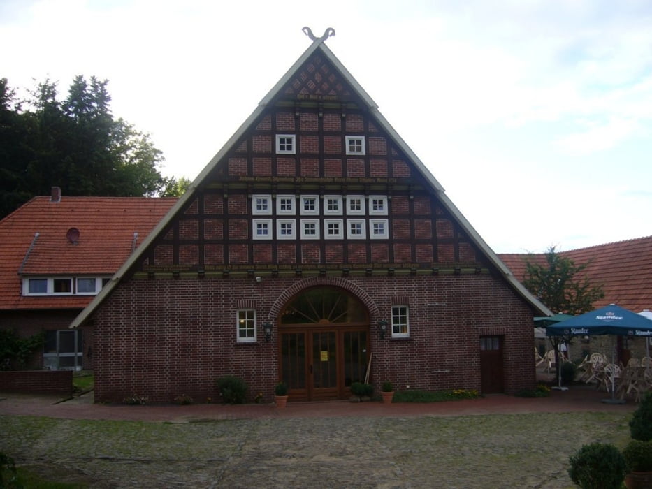
Die Tagesetappen der Tour endeten in Goldenstedt (www.ratsstuben-goldenstedt.de) und Kalkriese (www.varus-deele.shopkiste.de). Die Unterkünfte sind empfehlenswert.
Galeria trasy
Mapa trasy i profil wysokości
Minimum height
Maximum height 115 m
More about the tour author
|
|
Emsradler |
Komentarze

GPS tracks
Trackpoints-
GPX / Garmin Map Source (gpx) download
-
TCX / Garmin Training Center® (tcx) download
-
CRS / Garmin Training Center® (crs) download
-
Google Earth (kml) download
-
G7ToWin (g7t) download
-
TTQV (trk) download
-
Overlay (ovl) download
-
Fugawi (txt) download
-
Kompass (DAV) Track (tk) download
-
Karta trasy (pdf) download
-
Original file of the author (gpx) download
More about the tour author
|
|
Emsradler |
Add to my favorites
Remove from my favorites
Edit tags
Open track
My score
Rate