


Von Annweiler über Gräfenhausen hoch auf den Wanderweg (blauer Strich) (Abstecher zur Jungpfalz Hütte möglich) zum Taubensuhl. Einkehrmöglichkeit. Auf dem Wanderweg "gelber Strich" nach Hofstätten. Hier gibt es mit "Müllers Lust" eine urgemütliche Kneipe mit Übernachtungsmöglichkeit (guter Küchen). Von da geht es nach einem kurzen steilen Anstieg über gute Waldwege zum "Annweiler Forsthaus". Die Rückfahrt nach Annweiler führt auf einem Waldweg durch das Wellbachtal, vorbei an schönen Wiesen unfd Fischteichen. Auf der Straße führt dann das letzte Stück durch Rinnthal und Sarnstall zurück.
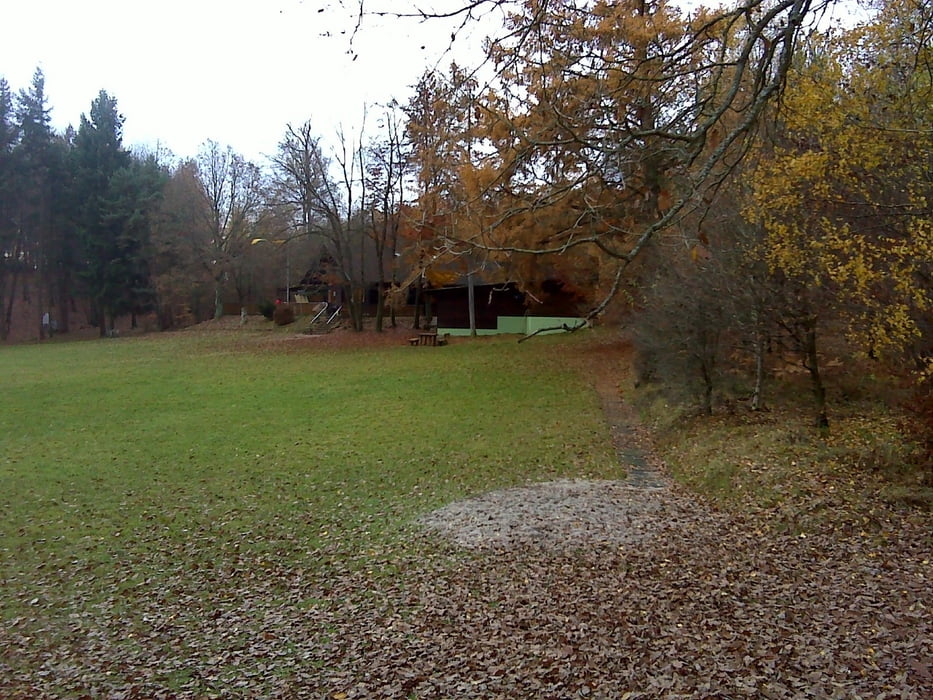
Galeria trasy

Mapa trasy i profil wysokości
Minimum height 159 m
Maximum height 547 m
More about the tour author

|
osram |
Komentarze

GPS tracks
Trackpoints-
GPX / Garmin Map Source (gpx) download
-
TCX / Garmin Training Center® (tcx) download
-
CRS / Garmin Training Center® (crs) download
-
Google Earth (kml) download
-
G7ToWin (g7t) download
-
TTQV (trk) download
-
Overlay (ovl) download
-
Fugawi (txt) download
-
Kompass (DAV) Track (tk) download
-
Karta trasy (pdf) download
-
Original file of the author (gpx) download
More about the tour author
|
|
osram |
Add to my favorites
Remove from my favorites
Edit tags
Open track
My score
Rate