Login

Zapomniałeś swój login?

Cookies have to be accepted!
Your browser's cookie functionality is disabled. Please enable this functionality.

Not a member yet?

Register now
Login

Available for registred users only

Log in to use this feature.

Zapomniałeś swój login?

Cookies have to be accepted!
Your browser's cookie functionality is disabled. Please enable this functionality.

Not a member yet?

Register now
Filter
Kategorie
Advanced filters
  • Długość (km)
  • Wysokość
Zapisz filtr Reset filter

TrackRank

QRCode

Technical data

Długość17,4 km Wysokość375 m Way down378 m Czas trwania01:00 h:m Data15.11.2009
Oceny Author Krajobraz Czynnik zadowolenia Kondycja Technika

Statystyka

1828 Widoki Oceny 125 Downloads / Pliki do pobrania Przeciętnie
Rate
  • Karta trasy
  • Dojazd
  • Downloads / Pliki do pobrania
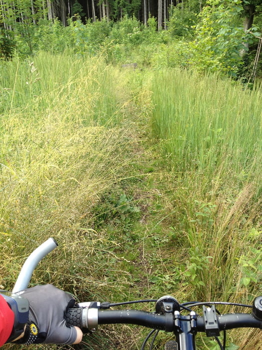
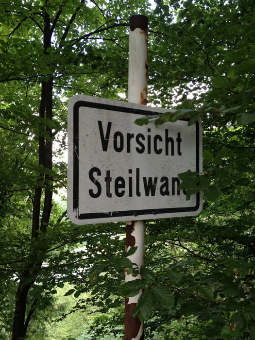
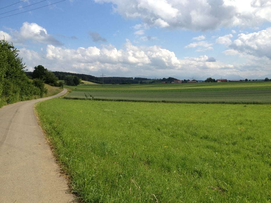
Kurze aber sehr abwechslungsreiche Feierabend-Trainingstour, die überwiegend durch den Wald am Lech entlang führt. Teilweise auch direkt auf dem Lech-Höhenweg. Da ist  für jeden was dabei. Ebene Teerstraßen, Waldwege, enge Singeltracks. In der laubfreien Zeit auch wunderschöne Ausblicke auf den Lech.

Galeria trasy

Mapa trasy i profil wysokości

  • Open Street Map
  • Google
Minimum height 663 m Maximum height 809 m Widok szczegółowy

More about the tour author

almayn
Member since 2009

Send private message

Komentarze

Tour beginnt in der Nähe vom Krankenhaus Schongau. Dort kann auch am besten geparkt werden.

GPS tracks

Trackpoints
  • GPX / Garmin Map Source (gpx) download
  • TCX / Garmin Training Center® (tcx) download
  • CRS / Garmin Training Center® (crs) download
  • Google Earth (kml) download
  • G7ToWin (g7t) download
  • TTQV (trk) download
  • Overlay (ovl) download
  • Fugawi (txt) download
  • Kompass (DAV) Track (tk) download
  • Karta trasy (pdf) download
  • Original file of the author (tcx) download

More about the tour author

almayn
Member since 2009

Send private message
Share track
Add to my favorites
Remove from my favorites
Edit tags
My score
Rate
Trasa: Lech-Höhenweg
Rodzaj: Rower górski (MTB)
Długość: 17,4 km
Evaluated on:
Czas trwania:
Day(s)
Hour(s)
Minute(s)
Ocena: Krajobraz Czynnik zadowolenia Kondycja Technika