

Start und Ziel ist das Hotel "Roter Bühl" zwischen Elzach und Haslach ca. 1km von der B 294 am Waldrand gelegen.Das Hotel ist ein sehr netter Familienbetrieb und eignet sich gut für Gruppen.
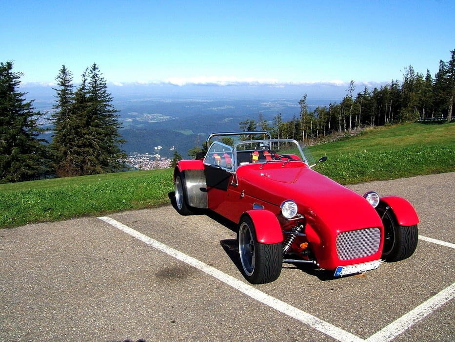
Ich bin die Tour mit meinem Super Seven gefahren. Die Tour ist genauso gut mit dem Motorrad möglich.
Zu beachten ist, daß die Schauinslandbergstrecke an Sonn- u. Feiertagen für Motorräder gesperrt ist. Zwischen den Sonntagsfahrern macht es eh keinen Spaß!!
Viel Spaß an den Kurven!
Further information at
http://www.roter-buehl.deGaleria trasy

Mapa trasy i profil wysokości
Minimum height 252 m
Maximum height 1199 m
More about the tour author

|
Methoni |
Komentarze

GPS tracks
Trackpoints-
GPX / Garmin Map Source (gpx) download
-
TCX / Garmin Training Center® (tcx) download
-
CRS / Garmin Training Center® (crs) download
-
Google Earth (kml) download
-
G7ToWin (g7t) download
-
TTQV (trk) download
-
Overlay (ovl) download
-
Fugawi (txt) download
-
Kompass (DAV) Track (tk) download
-
Karta trasy (pdf) download
-
Original file of the author (gpx) download
More about the tour author
|
|
Methoni |
Add to my favorites
Remove from my favorites
Edit tags
Open track
My score
Rate