Login

Zapomniałeś swój login?

Cookies have to be accepted!
Your browser's cookie functionality is disabled. Please enable this functionality.

Not a member yet?

Register now
Login

Available for registred users only

Log in to use this feature.

Zapomniałeś swój login?

Cookies have to be accepted!
Your browser's cookie functionality is disabled. Please enable this functionality.

Not a member yet?

Register now
Filter
Kategorie
Advanced filters
  • Długość (km)
  • Wysokość
Zapisz filtr Reset filter

TrackRank

QRCode

Technical data

Długość16,3 km Wysokość428 m Way down445 m Czas trwania01:15 h:m Data21.11.2009
Oceny Author Krajobraz Czynnik zadowolenia Kondycja Technika

Statystyka

718 Widoki Oceny 174 Downloads / Pliki do pobrania Przeciętnie
Rate
  • Karta trasy
  • Dojazd
  • Downloads / Pliki do pobrania

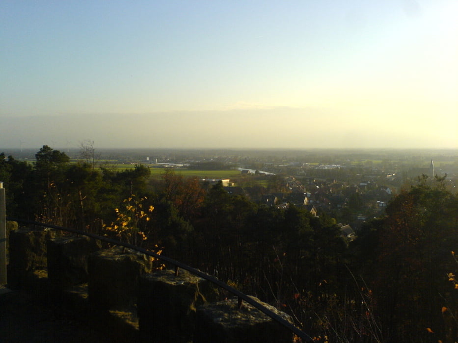
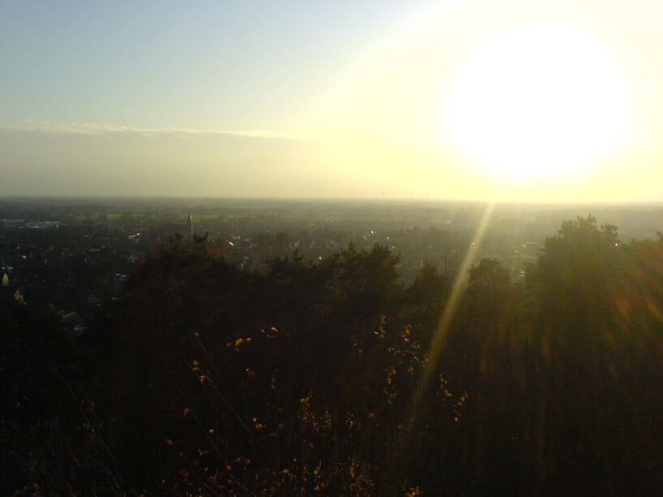
Kurze, schnelle Tour wenn man mal wieder keine Zeit hat oder es schnell dunkel wird.

Galeria trasy

Mapa trasy i profil wysokości

  • Open Street Map
  • Google
Minimum height 31 m Maximum height 143 m Widok szczegółowy

More about the tour author

dino-patrick
Member since 2008

Send private message

Komentarze

Los geht es am Parkplatz Postweg (N52°15.774E7°39.523) oder alternativ am Parkplatz Huckberg

(52°16.926E7°35.336).

GPS tracks

Trackpoints
  • GPX / Garmin Map Source (gpx) download
  • TCX / Garmin Training Center® (tcx) download
  • CRS / Garmin Training Center® (crs) download
  • Google Earth (kml) download
  • G7ToWin (g7t) download
  • TTQV (trk) download
  • Overlay (ovl) download
  • Fugawi (txt) download
  • Kompass (DAV) Track (tk) download
  • Karta trasy (pdf) download
  • Original file of the author (gpx) download

More about the tour author

dino-patrick
Member since 2008

Send private message
Share track
Add to my favorites
Remove from my favorites
Edit tags
My score
Rate
Trasa: Postweg-Huckberg
Rodzaj: Rower górski (MTB)
Długość: 16,3 km
Evaluated on:
Czas trwania:
Day(s)
Hour(s)
Minute(s)
Ocena: Krajobraz Czynnik zadowolenia Kondycja Technika