


Eine landschaftlich wunderschöne und sehr abwechslungsreiche Tagestour ohne allzu große Steigungen. Herrliches Alpenpanorama und später durch die wunderschönen Isarauen bis zurück nach Pullach. Viele schöne Einkehrmöglichkeiten entlang der gesamten Strecke. Geeignet für Trekking-, Cross- und Mountainbikes. Wirklich eine der schönsten Tagestouren die ich unternommen habe.
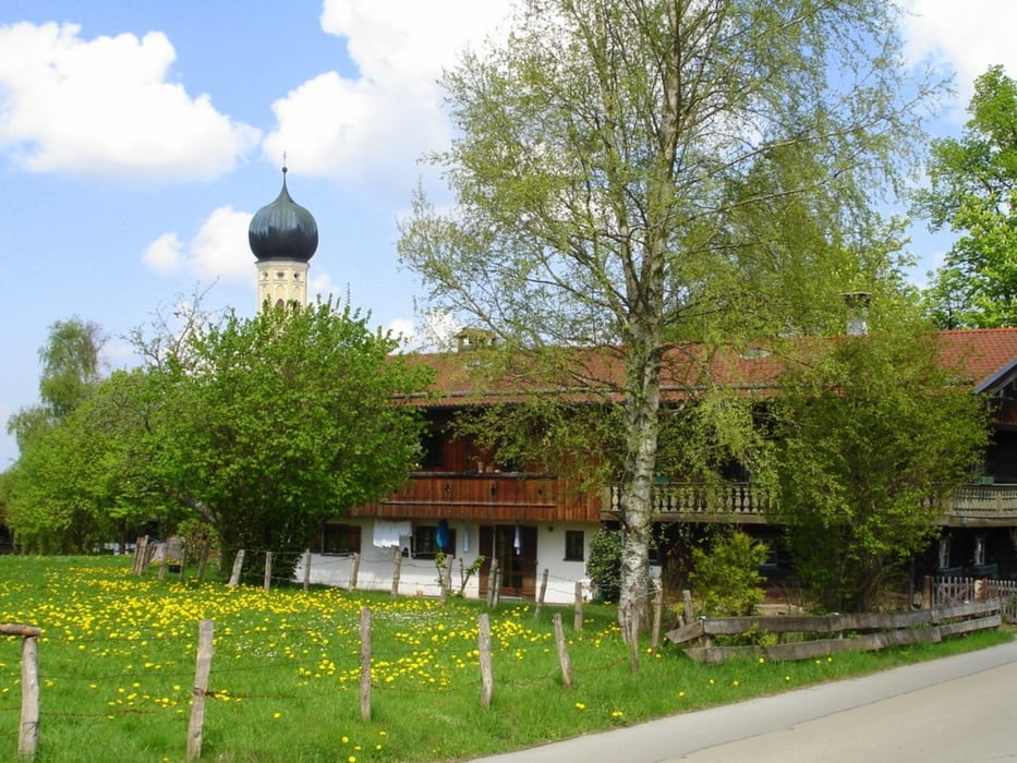
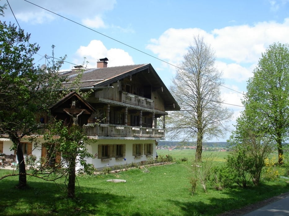
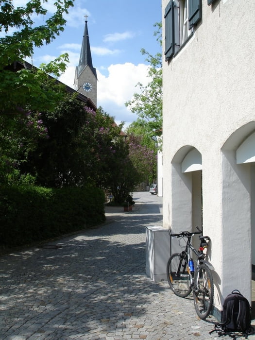
Galeria trasy

Mapa trasy i profil wysokości
Minimum height 536 m
Maximum height 808 m
More about the tour author
|
|
zedbeeblebrox |
Komentarze

Mit der BOB (Bayerische Oberlandbahn) von München Solln bis nach Tegernsee und dann nach einem Kaffee am Seeufer und Alpenblick nix wie rauf auf's Rad und los :-)
GPS tracks
Trackpoints-
GPX / Garmin Map Source (gpx) download
-
TCX / Garmin Training Center® (tcx) download
-
CRS / Garmin Training Center® (crs) download
-
Google Earth (kml) download
-
G7ToWin (g7t) download
-
TTQV (trk) download
-
Overlay (ovl) download
-
Fugawi (txt) download
-
Kompass (DAV) Track (tk) download
-
Karta trasy (pdf) download
-
Original file of the author (gpx) download
More about the tour author
|
|
zedbeeblebrox |
Add to my favorites
Remove from my favorites
Edit tags
Open track
My score
Rate