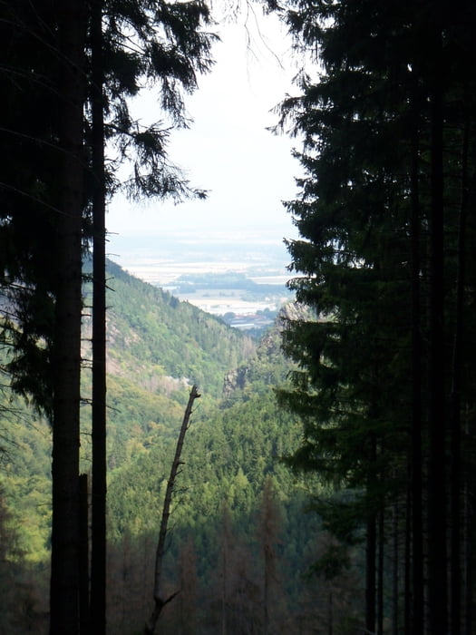
ehrlich gesagt, ich weiss nicht mehr genau wie lange wir liefen. Ist schon ein paar Monate her, aber wir hatten eine schöne Halbtagestour mit bester Aussicht, Abwechslung und Spaß. Das Hochladen der damaligen Tour ist also sowas wie eine Premiere für mich. Beim nächsten Mal besser vorbereitet!
Galeria trasy
Mapa trasy i profil wysokości
Minimum height 270 m
Maximum height 731 m
Komentarze

GPS tracks
Trackpoints-
GPX / Garmin Map Source (gpx) download
-
TCX / Garmin Training Center® (tcx) download
-
CRS / Garmin Training Center® (crs) download
-
Google Earth (kml) download
-
G7ToWin (g7t) download
-
TTQV (trk) download
-
Overlay (ovl) download
-
Fugawi (txt) download
-
Kompass (DAV) Track (tk) download
-
Karta trasy (pdf) download
-
Original file of the author (gpx) download
Add to my favorites
Remove from my favorites
Edit tags
Open track
My score
Rate


