


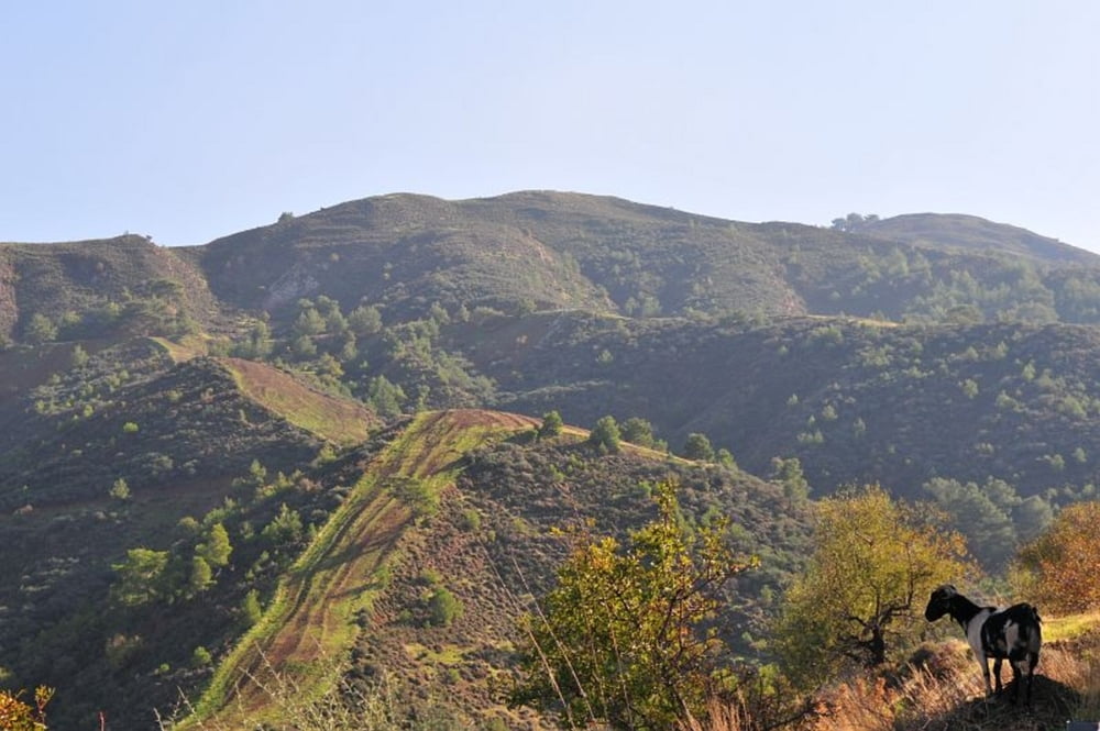
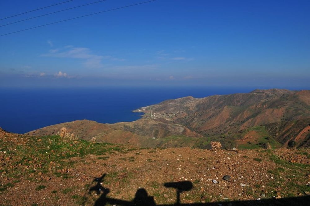
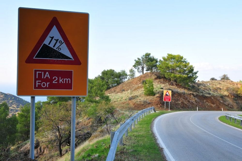
Die Tour führt die Küstenstraße von Polis in Richtung Neo Pyrgos entlang. In der Broschüre Zypern - Fahrradrouten ist die Route als Exkursion 15 beschrieben. Sie ist für Radfahrer wie für PKWs geeignet, führt sie doch stetig entlang auf guten Straßen. Durch die türkische Enklave Kokkina ist eine Durchfahrt nicht möglich. Daher muss der landschaftlich äußerst interessante Weg über die Berge genommen werden. Die in der Broschüre beschriebene maximale Erhebung kann ich nicht nachvollziehen. Die Straße führt steil bis auf 340m hinauf.
Um Polis ist die Straße noch stark befahren, später kaum noch. Es gibt an der Küste einen schmalen Randstreifen zum Befahren mit dem Rad.
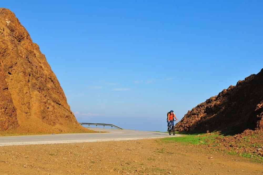
Habe die Tour nur bis zum höchsten Punkt befahren. Nach Neo Pyrgos ging es ab hier bergab.
Anm: Habe bei gpsies.com einen Track gefunden, der durch die Enklave Kokkina führt. Mich hat man nicht durchgelassen. Dann würde die max. Erhebung von etwa 150 stimmen.
Further information at
http://bankis.de/?p=132Galeria trasy
Mapa trasy i profil wysokości
Minimum height -15 m
Maximum height 372 m
More about the tour author

|
Banki |
Komentarze

In Polis Ausschilderung nach Neo Pyrgos folgen
GPS tracks
Trackpoints-
GPX / Garmin Map Source (gpx) download
-
TCX / Garmin Training Center® (tcx) download
-
CRS / Garmin Training Center® (crs) download
-
Google Earth (kml) download
-
G7ToWin (g7t) download
-
TTQV (trk) download
-
Overlay (ovl) download
-
Fugawi (txt) download
-
Kompass (DAV) Track (tk) download
-
Karta trasy (pdf) download
-
Original file of the author (gpx) download
More about the tour author
|
|
Banki |
Add to my favorites
Remove from my favorites
Edit tags
Open track
My score
Rate