Login

Zapomniałeś swój login?

Cookies have to be accepted!
Your browser's cookie functionality is disabled. Please enable this functionality.

Not a member yet?

Register now
Login

Available for registred users only

Log in to use this feature.

Zapomniałeś swój login?

Cookies have to be accepted!
Your browser's cookie functionality is disabled. Please enable this functionality.

Not a member yet?

Register now
Filter
Kategorie
Advanced filters
  • Długość (km)
  • Wysokość
Zapisz filtr Reset filter

TrackRank

QRCode

Technical data

Długość104,3 km Wysokość10428 m Way down10406 m Czas trwania00:00 h:m Data17.12.2009
Oceny Author Krajobraz Czynnik zadowolenia Kondycja Technika

Statystyka

149 Widoki Oceny 6 Downloads / Pliki do pobrania Przeciętnie
Rate
  • Karta trasy
  • Dojazd
  • Downloads / Pliki do pobrania

Galeria trasy

Mapa trasy i profil wysokości

  • Open Street Map
  • Google
Minimum height 2454 m Maximum height 3534 m Widok szczegółowy

More about the tour author

berndklaiber
Member since 2009

Send private message

Komentarze

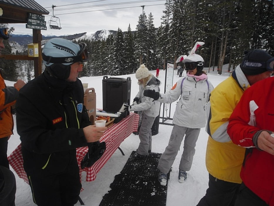
Aspen Highlands dieser Gebiet ist etwas steiler, super zum "Skifahren"

GPS tracks

Trackpoints
  • GPX / Garmin Map Source (gpx) download
  • TCX / Garmin Training Center® (tcx) download
  • CRS / Garmin Training Center® (crs) download
  • Google Earth (kml) download
  • G7ToWin (g7t) download
  • TTQV (trk) download
  • Overlay (ovl) download
  • Fugawi (txt) download
  • Kompass (DAV) Track (tk) download
  • Karta trasy (pdf) download
  • Original file of the author (gpx) download

More about the tour author

berndklaiber
Member since 2009

Send private message
Share track
Add to my favorites
Remove from my favorites
Edit tags
My score
Rate
Trasa: USA 16.12.09
Rodzaj: Narty
Długość: 104,3 km
Evaluated on:
Czas trwania:
Day(s)
Hour(s)
Minute(s)
Ocena: Krajobraz Czynnik zadowolenia Kondycja Technika