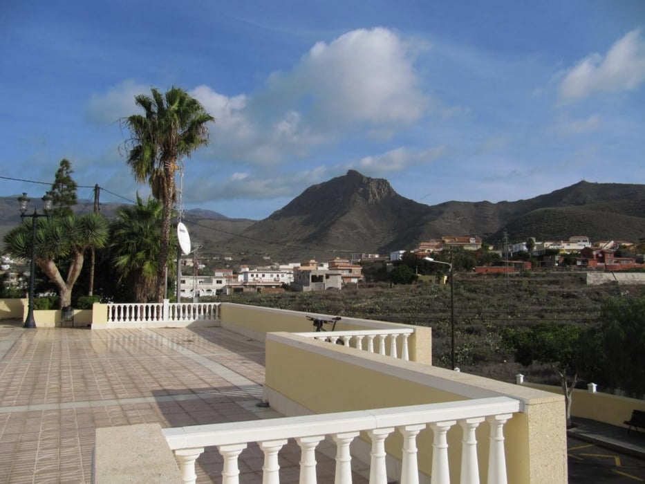
Eine Radtour zunächst auf Teerstraßen nach San Miguel und Abfahrt bis Flugplatznähe, dann Trail am Montana de Guaza. Zum Teil sehr wenig befahrene Sträßchen durch die Dörfer, ein schöner Abschluß von 2 Wochen Teneriffaurlaub.
Von Playa de las America über Los Cristianos nach Guaza. Dann auf der TF 66 mit schönem sicheren Randstreifen bis Buzanada. Nun links ab und schöne einsame Sträßchen nach Valle de San Lorenzo. Extrem steil nach El Roque, schätze über 25 %, musste zum Schluß zickzack fahren. Vom Sattel hätte man die Möglichkeit, den Roque de Jama (768m), ein steiler Felszacken von Süden, zu Fuß zu besteigen.
Ich fuhr durch schöne kleine Dorfsträßchen in San Miguel abwärts Richtung Meer und dann durch Bananenplantagen zurück zur TF 66. Hier ab ins Gelände und auf Schotterstraße in Richtung Montana de Guaza. Den Gipfel ließ ich aus, war schon zu Fuß oben. Dann sehr anspruchsvolle Abfahrt auf einem Singletrail nach Los Christianos. Ich war gezwungen, ab und zu abzusteigen. Spezialisten schaffen es vielleicht mit einem Fully, im Sattel zu bleiben. Für „Moserfahrer“ sicher kein Problem, nicht aber, wenn man alleine ist. Ein Flug im Gelände wäre hier kurz vor dem Heimflug fatal.
Daten nach GPS: 44 km, 1000 Hm, 3.20 Std.
Further information at
http://www.teneriffa-kreaktiv.com/index.phpGaleria trasy
Mapa trasy i profil wysokości
Komentarze

GPS tracks
Trackpoints-
GPX / Garmin Map Source (gpx) download
-
TCX / Garmin Training Center® (tcx) download
-
CRS / Garmin Training Center® (crs) download
-
Google Earth (kml) download
-
G7ToWin (g7t) download
-
TTQV (trk) download
-
Overlay (ovl) download
-
Fugawi (txt) download
-
Kompass (DAV) Track (tk) download
-
Karta trasy (pdf) download
-
Original file of the author (gpx) download


