Login

Zapomniałeś swój login?

Cookies have to be accepted!
Your browser's cookie functionality is disabled. Please enable this functionality.

Not a member yet?

Register now
Login

Available for registred users only

Log in to use this feature.

Zapomniałeś swój login?

Cookies have to be accepted!
Your browser's cookie functionality is disabled. Please enable this functionality.

Not a member yet?

Register now
Filter
Kategorie
Advanced filters
  • Długość (km)
  • Wysokość
Zapisz filtr Reset filter

TrackRank

QRCode

Technical data

Długość52,2 km Wysokość1735 m Way down1755 m Czas trwania00:00 h:m Data23.12.2009
Oceny Author Krajobraz Czynnik zadowolenia Kondycja Technika

Statystyka

652 Widoki Oceny 155 Downloads / Pliki do pobrania Przeciętnie
Rate
  • Karta trasy
  • Dojazd
  • Downloads / Pliki do pobrania

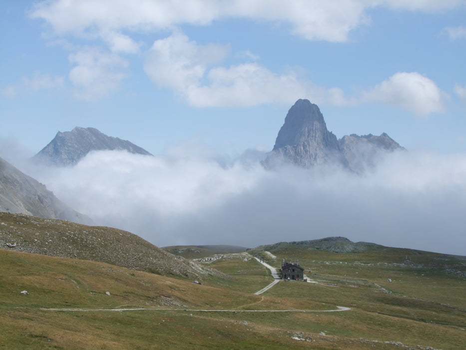
Vernetti - Sambuco: Nach hervorragendem Frühstück im Posto Tappa Vernetti (1223m) Auffahrt zum Col d'Esischie (2370m) - weiter zum Colle dei Morti mit Pantani-Denkmal (?), 2480m) - weiter immer nach Westen auf der Maira-Stura-Kammstraße bis zum Rif. Gardetta (2335m) - hoch zum Passo di Rocca Brancia (2620m) und am Osthang des Monte Oserot nach S, bis li Abfahrt ins Tal möglich - hinunter ins Stura-Tal bis Sambuco (1135m)

Galeria trasy

Mapa trasy i profil wysokości

  • Open Street Map
  • Google
Minimum height 1146 m Maximum height 2598 m Widok szczegółowy

More about the tour author

rockydoc
Member since 2008

Send private message

Komentarze

GPS tracks

Trackpoints
  • GPX / Garmin Map Source (gpx) download
  • TCX / Garmin Training Center® (tcx) download
  • CRS / Garmin Training Center® (crs) download
  • Google Earth (kml) download
  • G7ToWin (g7t) download
  • TTQV (trk) download
  • Overlay (ovl) download
  • Fugawi (txt) download
  • Kompass (DAV) Track (tk) download
  • Karta trasy (pdf) download
  • Original file of the author (gpx) download

More about the tour author

rockydoc
Member since 2008

Send private message
Share track
Add to my favorites
Remove from my favorites
Edit tags
My score
Rate
Trasa: West-Alpencross Genfer See - Bordighera Tag 10
Rodzaj: Transalp
Długość: 52,2 km
Evaluated on:
Czas trwania:
Day(s)
Hour(s)
Minute(s)
Ocena: Krajobraz Czynnik zadowolenia Kondycja Technika